
Hurricane Iselle - August 2014
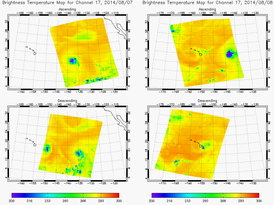
August 8, 2014 - Tropical Storm Iselle, recently downgraded from hurricane status, made a rare landfall on the Big Island of Hawaii. Had the storm made landfall as a hurricane, it would have been the first to make landfall on the Big Island in recorded history. The center of the storm came on shore about 5 miles east of Pahala, on the islands southern shore, at 2:30 AM HST, with maximum sustained winds around 60 mph.
ATMS Brightness temperatures for all 22 channels from August 1-8.
August 1
Channel 17
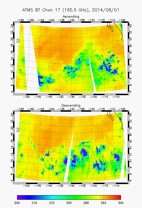
Images of ATMS brightness temperature from channel 17 show Iselle weakening as it encounters the colder waters of the Central Pacific.

A VIIRS Day/Night Band image retrieved shortly before landfall. The storm had been weakened considerably by interaction with the large volcanoes on the island and colder water surrounding it. Source: Curtis Seaman, CIRA

A VIIRS True Color composite image retrieved on August 7, as the storm approched the Hawaiian Islands.

Images of the 11 um brightness temperature shows both Iselle as it approaches Hawaii, and Hurricane Julio, which would ultimately pass to the north of the islands.