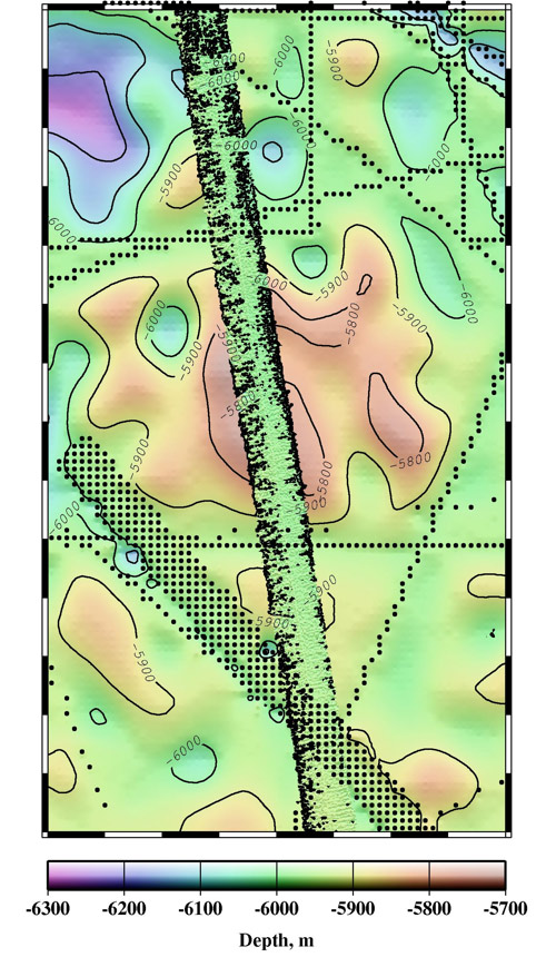
Multibeam data plotted on bathymetry model over gap in surveys
Altimetric Bathymetry
Bathymetric Model Error Analysis
We analyze errors in the global altimetric bathymetric model that combines satellite altimetry with ship depth soundings. Problems with the prediction algorithm have been discovered by comparing multibeam "ground truth" data to local areas in the bathymetric model that have wide gaps between ship surveys that are filled in with depths predicted from satellite altimetry. Correcting these problems leads to better models. We also investigate bathymetry model improvements on a global scale.
This research has been published: "Evolution of errors in the altimetric bathymetry model used by Google Earth and GEBCO," K. M. Marks and W. H. F. Smith, Marine Geophysical Researches, Vol. 31, No. 3, 223-238, Sept. 2010. Published online: Nov. 9, 2010. DOI: 10.1007/s11001-010-9102-0.
