Publications
To view Dr. Marks's complete list of publications, visit these account links:
Publications
To view Dr. Smith's complete list of publications, visit these account links:
Altimetric Bathymetry
 Annotated Bibliography
This annotated bibliography outlines articles and topics with particular relevance to acquiring a general understanding of what altimetric bathymetry is and does.
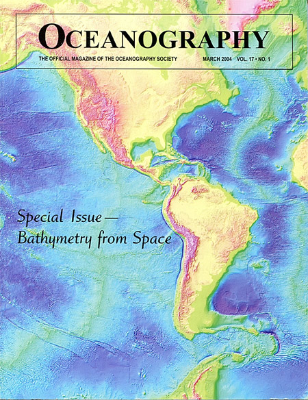
Oceanography
Special Issue:
Bathymetry from Space
Volume 17, Number 1, March 2004
This issue of Oceanography features several articles contributed by LSA scientists and continues to be valuable information for understanding ocean circulation, climate, tsunami hazard, and other applications such as in the Law of the Sea.
LSA articles in this issue include:
Smith, W. H. F. (2004). Introduction to This Special Issue on Bathymetry from Space. Oceanography, 17(1). DOI: 10.5670/oceanog.2004.62
Smith, W. H. F., & Sandwell, D. T. (2004). Conventional Bathymetry, Bathymetry from Space, and Geodetic Altimetry. Oceanography, 17(1). DOI: 10.5670/oceanog.2004.63
Smith, W. H. F., Goff, J. A., & Marks, K. M. (2004). The Contributions of Abyssal Hill Morphology and Noise to Altimetric Gravity Fabric. Oceanography, 17(1). DOI: 10.5670/oceanog.2004.64
How to derive bathymetry from altimetric gravity anomalies
This paper developed the theory and made the first successful application. At that time, suitable data were available only south of 30 S Latitude, so the product only covered the Southern Ocean.
Smith, W. H. F., & Sandwell, D. T. (1994). Bathymetric Prediction from Dense Satellite Altimetry and Sparse Shipboard Bathymetry. Journal of Geophysical Research-Solid Earth, 99(B11), 21803-21824. DOI: 10.1029/94JB00988
This article extended the approach globally after global data became available.
Smith, W. H. F., & Sandwell, D. T. (1997). Global Sea Floor Topography from Satellite Altimetry and Ship Depth Soundings. Science, 277(5334), 1956-1962. DOI: 10.1126/science.277.5334.1956
Applications of Altimetric Bathymetry:
The Volume of Earth's Ocean:
Charette, M. A., & Smith, W. H. F. (2010). The Volume of Earth's Ocean. Oceanography, 23(2), 112-114. DOI: 10.5670/oceanog.2010.51
The location of the 2500 m depth contour, a critical issue limiting nations' territorial claims to the sea bed under the Law of the Sea:
Marks, K. M.; Smith, W. H F. (2005). "Accuracy of the 2500 meter isobath from satellite bathymetry," OCEANS, 2005. Proceedings of MTS/IEEE, 3, 2151,2154. DOI: 10.1109/OCEANS.2005.1640082.
The data updated and reformatted to fit a common DEM format:
Becker, J. J., Sandwell, D. T., Smith, W. H. F., Braud, J., Binder, B., Depner, J., Fabre, D., Factor, J., Ingalls, S., Kim, S. H., Ladner, R., Marks, K., Nelson, S., Pharaoh, A., Trimmer, R., Von Rosenberg, J., Wallace, G., & Weatherall, P. (2009). Global Bathymetry and Elevation Data at 30 Arc Seconds Resolution: SRTM30_PLUS. Marine Geodesy, 32(4), 355- 371. DOI: 10.1080/01490410903297766
Marine Gravity Anomalies from Satellite Altimetry
To derive altimetric bathymetry, the first step is to combine all the satellite altimeter data and build a good model of what the implied gravity anomalies are.
Sandwell, D. T., & Smith, W. H. F. (1997). Marine Gravity Anomaly from Geosat and ERS 1 Satellite Altimetry. Journal of Geophysical Research-Solid Earth, 102(B5), 10039-10054. DOI: 10.1029/96JB03223
Sandwell, D. T., & Smith, W. H. F. (2005). Retracking ERS-1 Altimeter Waveforms for Optimal Gravity Field Recovery. Geophysical Journal International, 163(1), 79-89. DOI: 10.1111/j.1365-246X.2005.02724.x
Sandwell, D. T., & Smith, W. H. F. (2009). Global Marine Gravity from Retracked Geosat and ERS-1 Altimetry: Ridge Segmentation Versus Spreading Rate. Journal of Geophysical Research-Solid Earth, 114. DOI: 10.1029/2008jb006008
Garcia, E. S., Sandwell, D. T., & Smith, W. H. F. (2014). Retracking CryoSat-2, Envisat and Jason-1 Radar Altimetry Waveforms for Improved Gravity Field Recovery. Geophysical Journal International, 196(3), 1402-1422. DOI: 10.1093/gji/ggt469
Applications of altimetric marine gravity anomalies:
The tectonic history recorded in altimeter data:
Marks, K. M., Smith, W. H. F., & Sandwell, D. T. (2013). Significant Improvements in Marine Gravity from Ongoing Satellite Missions. Marine Geophysical Research, 34(2), 137-146. DOI: 10.1007/s11001-013-9190-8.
Smith, W. H. F. (1998). Seafloor Tectonic Fabric from Satellite Altimetry. Annual Review of Earth and Planetary Sciences, 26, 697-747. DOI: 10.1146/annurev.earth.26.1.697.
Marks, K. M. and A. A. Tikku (2001) Cretaceous Reconstructions of East Antarctica, Africa, and Madagascar. Earth and Planetary Sciences Letters, 186/3-4, 479-495. DOI: 10.1016/S0012-821X(01)00262-X
Marks, K. M. & Stock, J.M. (2001). Evolution of the Malvinas Plate South of Africa. Marine Geophysical Researches, 22(4), 289-302. DOI: 10.1023/A:1014638325616.
Marks, K. M., Stock, J. M. & Quinn, K. J. (1999). Evolution of the Australian-Antarctic discordance since Miocene time. Journal of Geophysical Research-Solid Earth, 104(B3), 4967-4981. DOI: 10.1029/1998JB900075.
Marks, K. M. & Stock, J.M. (1997). Early Tertiary gravity field reconstructions of the Southwest Pacific. Earth and Planetary Science Letters, 152(1-4), 267-274 DOI: 10.1016/S0012-821X(97)00139-8.
The volcanic history of the ocean basins:
Watts, A. B., Sandwell, D. T., Smith, W. H. F., & Wessel, P. (2006). Global Gravity, Bathymetry, and the Distribution of Submarine Volcanism through Space and Time. Journal of Geophysical Research - Solid Earth, 111(B8). DOI: 10.1029/2005jb004083.
Resolving seamounts with altimetry:
Marks, K. M., Smith, W. H. F. (2007). Some remarks on resolving seamounts in satellite gravity. Geophysical Research Letters, 34(3) DOI: 10.1029/2006GL028857.
Smith, W. H. F., Goff, J. A., & Marks, K. M. (2004). The Contributions of Abyssal Hill Morphology and Noise to Altimetric Gravity Fabric. Oceanography, 17(1). DOI: 10.5670/oceanog.2004.64
Can satellite altimetry can resolve "abyssal hills", which are the most common landform on Earth, but the hardest for an altimeter to detect?
Goff, J. A., & Smith, W. H. F. (2003). A Correspondence of Altimetric Gravity Texture to Abyssal Hill Morphology Along the Flanks of the Southeast Indian Ridge. Geophysical Research Letters, 30(24). DOI: 10.1029/2003gl018913
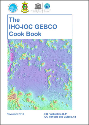
IHO-IOC GEBCO Cook Book
 The Cook Book is a
manual that enables users to prepare and grid data for
inclusion in GEBCO products.
K. M. Marks and IHO-IOC GEBCO Cook Book Working Group. (2013). Free "Cook Book" for gridding bathymetric data, EOS, Transactions American Geophysical Union, 94(9), 88. DOI: 10.1002/2013EO090005.
Assessing gravity and bathymetry fields
Marks,K. M. & Smith, W. H. F. (2012). Radially symmetric coherence between satellite gravity and multibeam bathymetry grids, Marine Geophysical Research, 33(3), 223-227. DOI: 10.1007/s11001-012-9157-1. (abstract at link).
Marks, K. M., Smith, W. H. F., & Sandwell, D. T. (2010). Evolution of errors in the altimetric bathymetry grid used by Google Earth and GEBCO, Marine Geophysical Researches, 31(3), 223-238. DOI: 10.1007/s11001-010-9102-0.
Marks, K. M. & Smith, W. H. F. (2006). An Evaluation of Publicly Available Global Bathymetry Grids, Marine Geophys. Researches, 27(1), 19-34. DOI: 10.1007/S11001-005-2095-4.
NOAA Technical Reports
Marks, K. M. (2011). NOAA Technical Report NESDIS 132: Assessing Errors in Altimetric and Other Bathymetry Grids.
