NOAA STAR Ocean Color Science Team
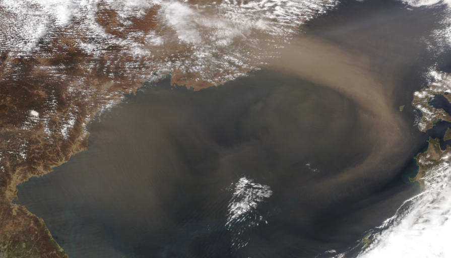
Sand from Gobi Desert over the Sea of Japan on April 12, 2023 (NOAA-21)
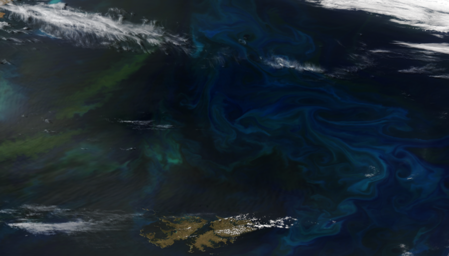
Algae bloom in the South West Atlantic on November 26, 2022 (NOAA-20)
False color imagery of severe flooding in Pakistan on August 31, 2022 (left) compared to normal conditions on August 28, 2021 (right)
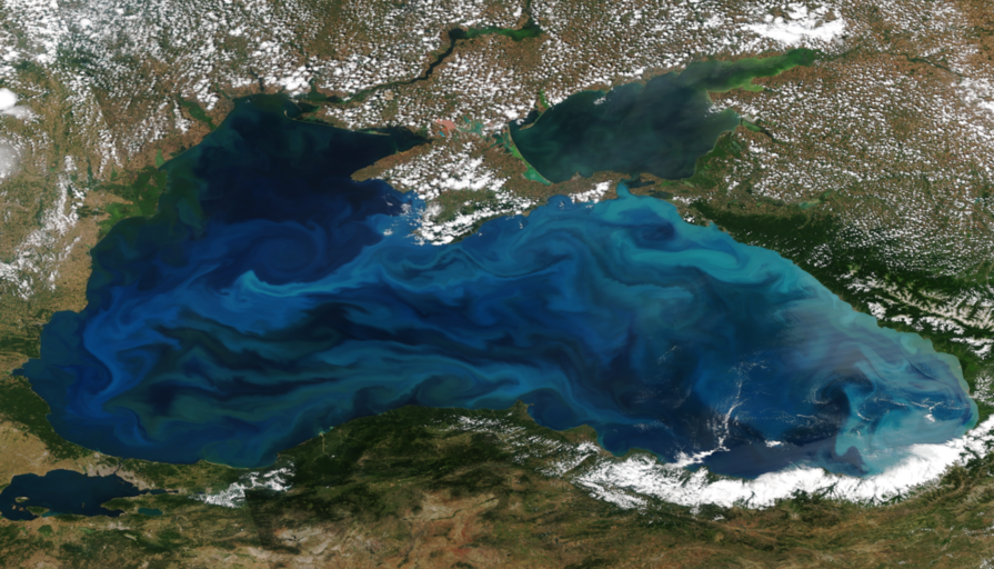
Algae bloom in the Black Sea on July 5, 2022 (NOAA-20)
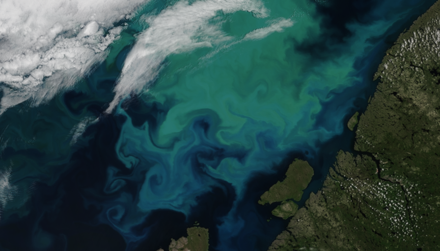
Algae bloom in the Barents Sea on July 15, 2021 (NOAA-20)
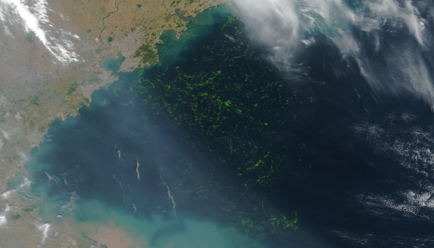
Green macroalgae bloom in Yellow Sea near Qingdao on June 23, 2021
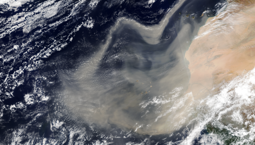
Sand blown from Sahara over the Atlantic Ocean on February 18, 2021 (NOAA-20)
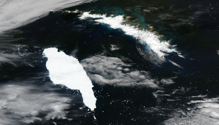
Iceberg A-68A (lower left) approaching South Georgia island (upper right) on December 14, 2020
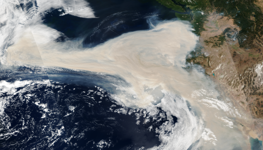
Smoke from fires in the US West Coast blown over the North Pacific on September 10, 2020
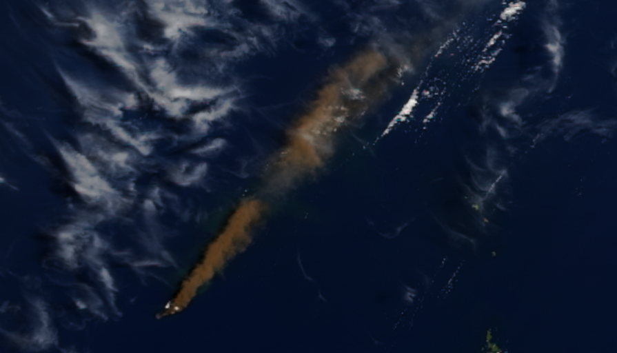
Ash plume from a volcano eruption on Nishinoshima island (Japan) on June 28, 2020
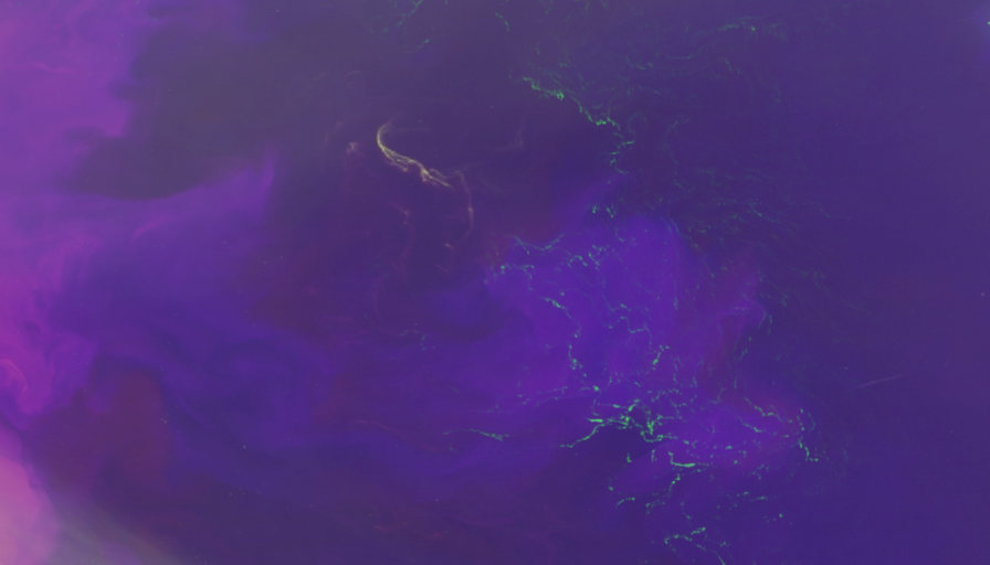
False color imagery of Sargassum and Noctiluca blooms in East China Sea on May 13, 2020 RSE 239, 111659 (2020)
An article on gap-filled OC products by Liu & Wang in recent EOS (click for details)
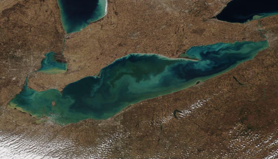
Algae bloom in Lake Erie on March 15, 2020 (NOAA-20)
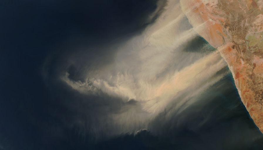
Sand blown from Namib desert over South Atlantic on September 25, 2019
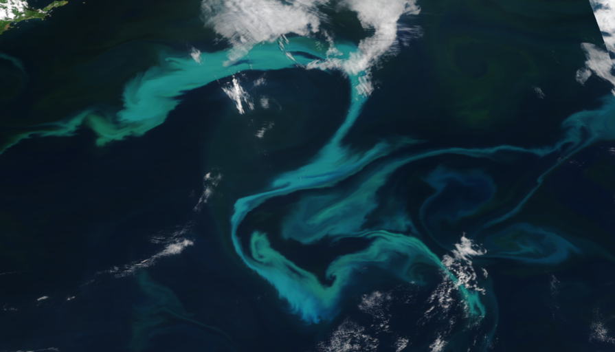
Algae bloom east of Hokkaido (Japan) on June 2, 2019
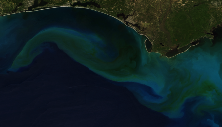
Algae bloom in Gulf of Mexico after Hurricane Michael on October 13, 2018 (NOAA-20)
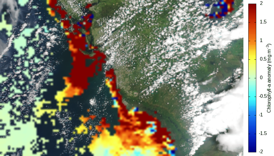
High chlorophyll-a anomaly linked to harmful algae bloom in west Florida, July 26, 2018
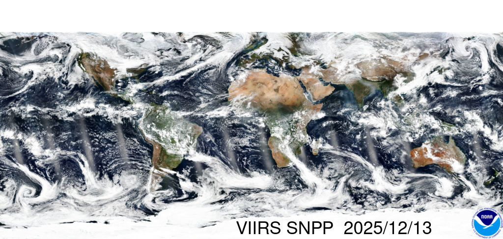
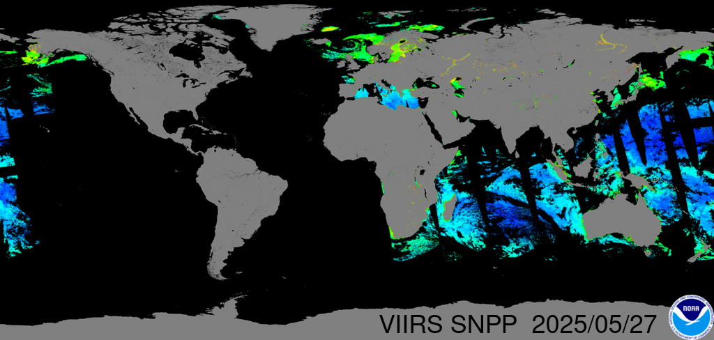


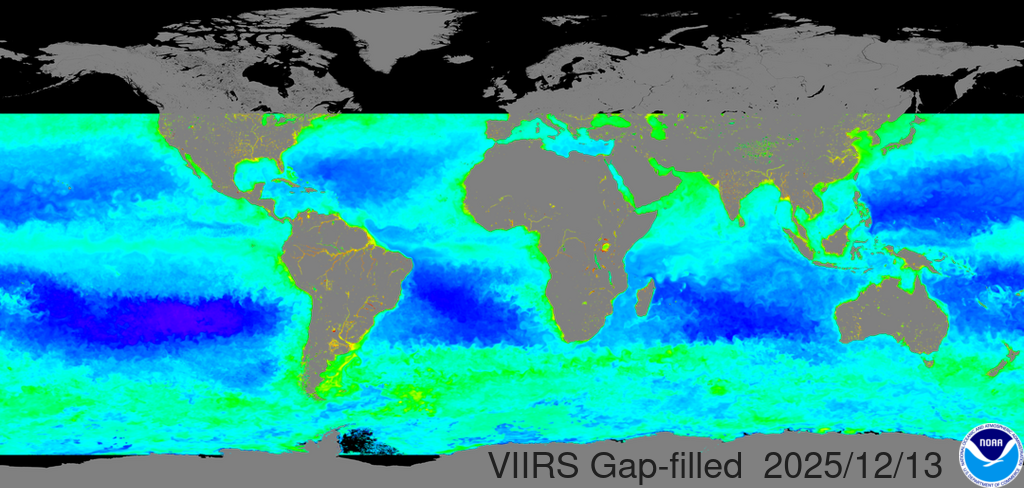
VIIRS three-sensor merged & gap-filled daily global chlorophyll-a


The ocean color science team in the Center for Satellite Applications and Research (STAR) of NOAA/NESDIS seeks to develop improved ocean color products from the current and future ocean color satellite sensors including the Sea-viewing Wide Field-of-view Sensor (SeaWiFS), the Moderate Resolution Imaging Spectroradiometer (MODIS), and the Visible Infrared Imaging Radiometer Suite (VIIRS) on the Suomi National Polar-orbiting Partnership (SNPP) and the Joint Polar Satellite System (JPSS), as well as various satellite sensors from other countries, e.g., the Medium Resolution Imaging Spectrometer (MERIS), Korean Geostationary Ocean Color Imager (GOCI), Sentinel-3 Ocean Land Colour Instrument (OLCI), GCOM-C Second-Generation Global Imager (SGLI), etc. The ocean color science team is currently focusing on:
- Characterization and calibration of satellite ocean color instrument (e.g., VIIRS, MODIS);
- Satellite on-orbit vicarious calibration using in situ measurements;
- Understanding, evaluating, and refining satellite ocean color data processing system (i.e., MSL12);
- Routine global ocean color data processing from Level-0 to Level-1B, Level-1B to Level-2, and Level-2 to Level-3;
- The end-to-end satellite ocean color data processing capability and system;
- Development and improvement of satellite retrieval algorithms in global open ocean and coastal and inland water regions;
- In situ data processing, evaluation, and improvement;
- Implementing and transitioning research algorithms to the NOAA operational data system;
- Various ocean color data research and applications in global open ocean and coastal and inland waters.
The STAR Ocean Color Science Team is also the NOAA VIIRS Ocean Color Environmental Data Records (EDR) Team, responsible for providing high quality VIIRS global ocean color products. Here we show results from VIIRS-SNPP.

