STAR SOCD Water Surface Conditions / Synthetic Aperture Radar (SAR) Products


Our Mission
The NOAA STAR Water Surface Conditions (WSC) team specializes in the exploitation of synthetic aperture radar imagery for the development of products that are of relevance to the NOAA mission and of use to a wide variety of operational uses (both inside and outside the U.S. Government). The work focus on perpetual water bodies such as oceans, lakes, and rivers in addition to ephemeral flooded, snow-covered, ice-covered areas. SAR offers a unique combination of all-weather and high resolution satellite imaging that WSC is leveraging to meet NOAA and NOAA customer needs. Blending SAR with other remote sensing instruments allows for further improvements in the detection of water surface conditions.
The WSC science team works to accelerate the transfer of satellite observations from scientific research and development into routine operations, and offer state-of-the-art data, products, and services to decision-makers. Specific objectives are to:
- Provide Level 1B SAR imagery from current operational satellite platforms that generate SAR imagery that could be applied for weather, ocean, or fisheries analysis.
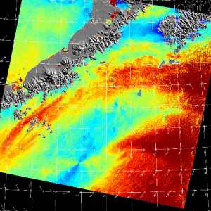
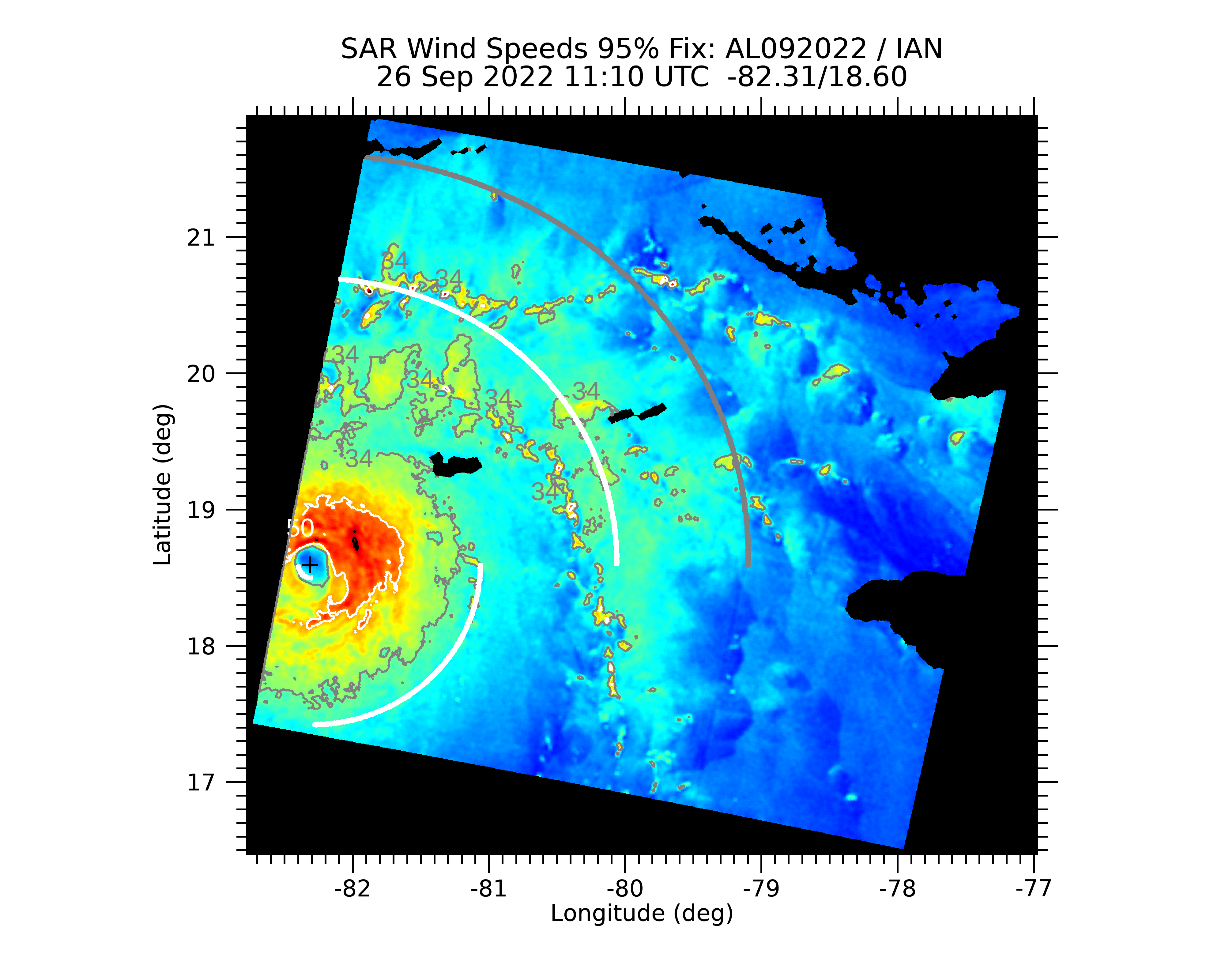
- Provide Level 2 SAR based products for applications such as ocean surface wind speeds, tropical cyclone wind speed and characterization, flooding and inundation extent, sea (and lake) ice extent and characterization.
- Develop algorithms for products mature enough for operational implementation. Assure that these algorithms are state-of-the-art.
- Be able to derive products from all the readily available SAR satellites and assess the accuracy of products derived from each.
- Develop algorithms and techniques for both automated and interactive products and applications.
- When possible, enhance algorithms and products through the use of multi-polarization, multi- frequency, or interferometric SAR data and through the blending of SAR with other instruments (e.g. VIIRS, GOES ABI, ASCAT, and AMSR 2).
These webpages provide pre-operational and calibration/validation products. Current applications include rescaled and reformatted SAR imagery, SAR winds, high resolution tropical cyclone monitoring, and ice products for operational ice analysis. Our team is also working on SAR and Optical Flood monitoring that are provided on associated websites. SAR development products for significant wave height, coastal shoreline designation, and vessel detection for illegal fishing identification will be added in the near term future. Please contact us for more information and feedback on the provided products and services.