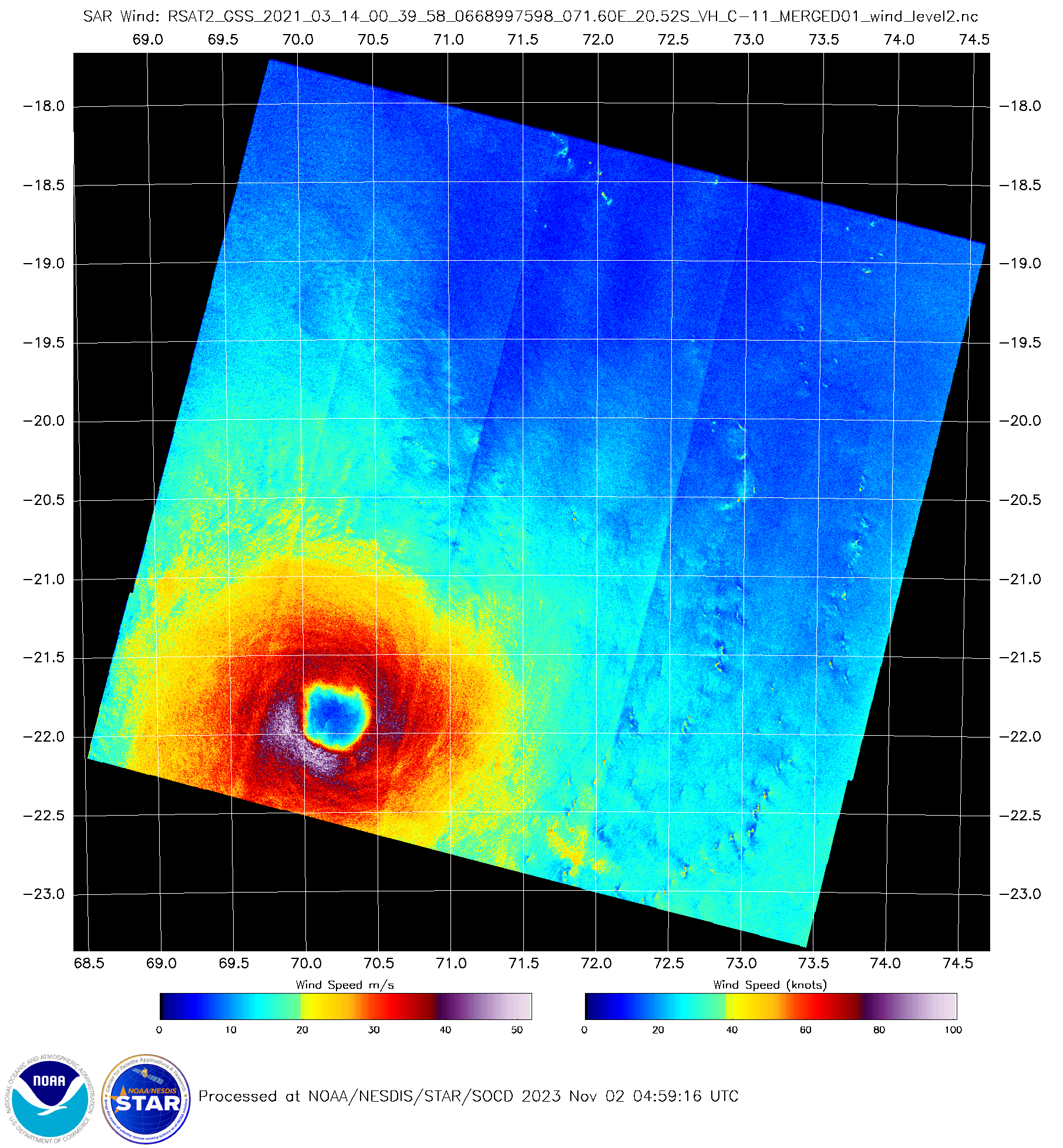
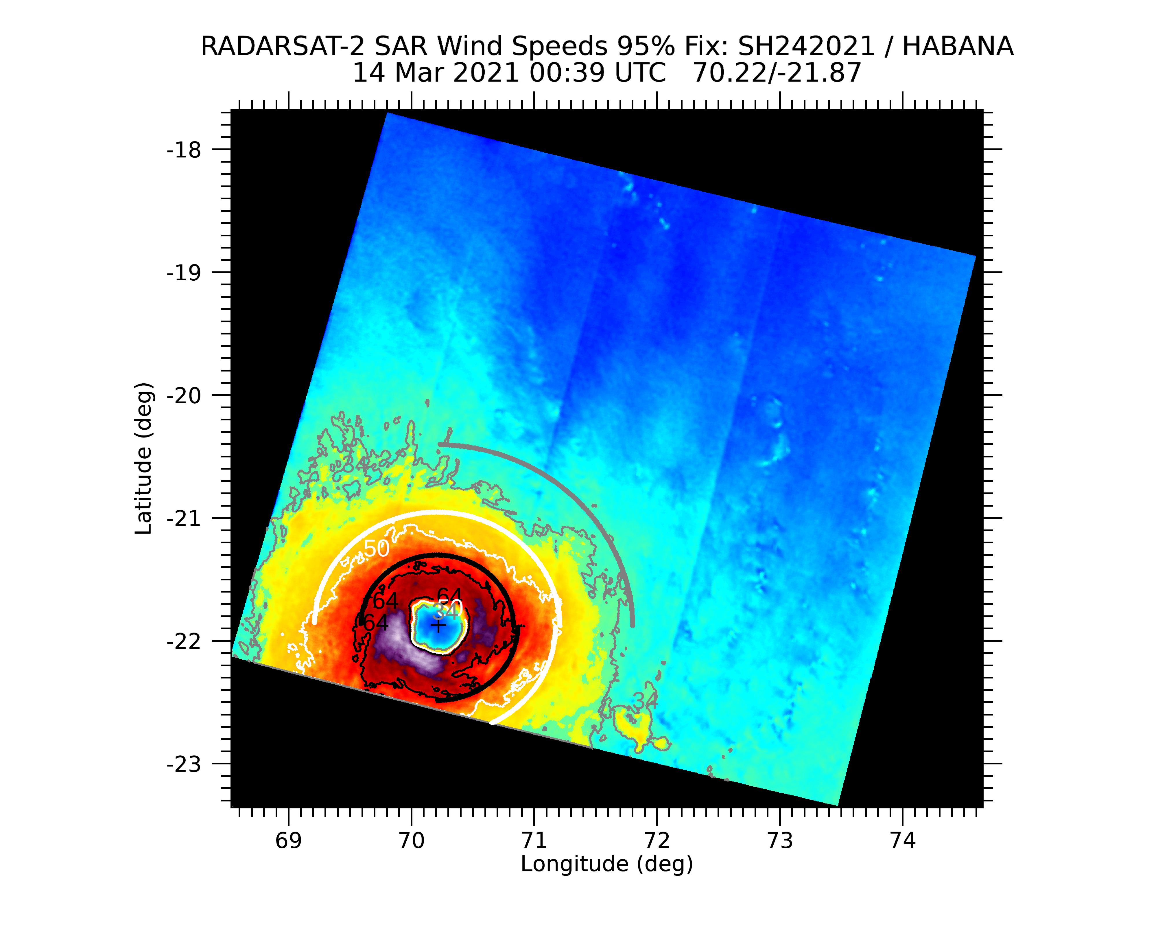
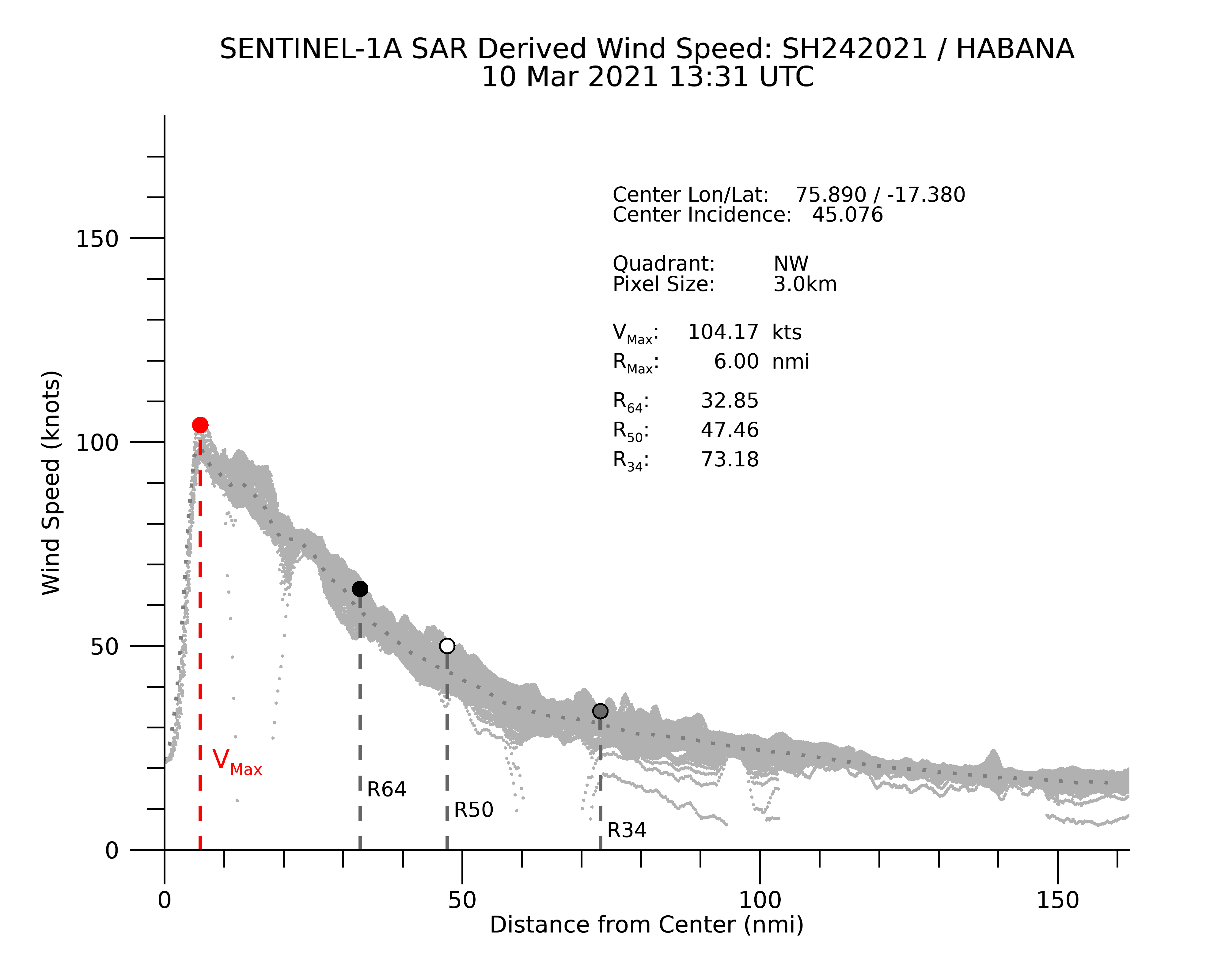
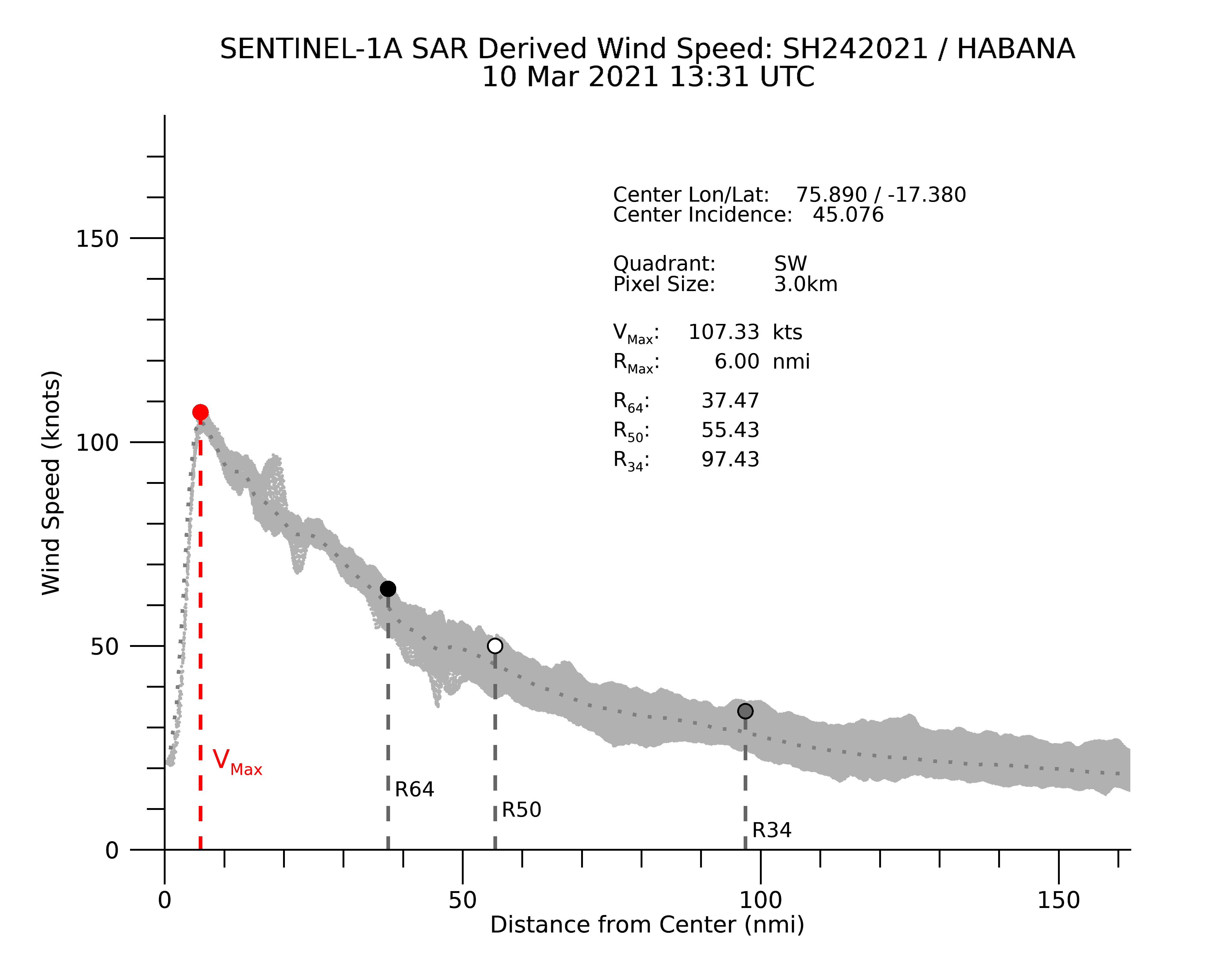
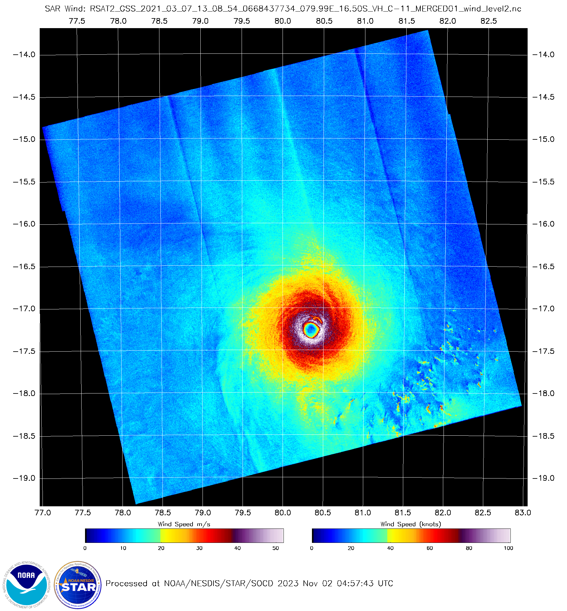
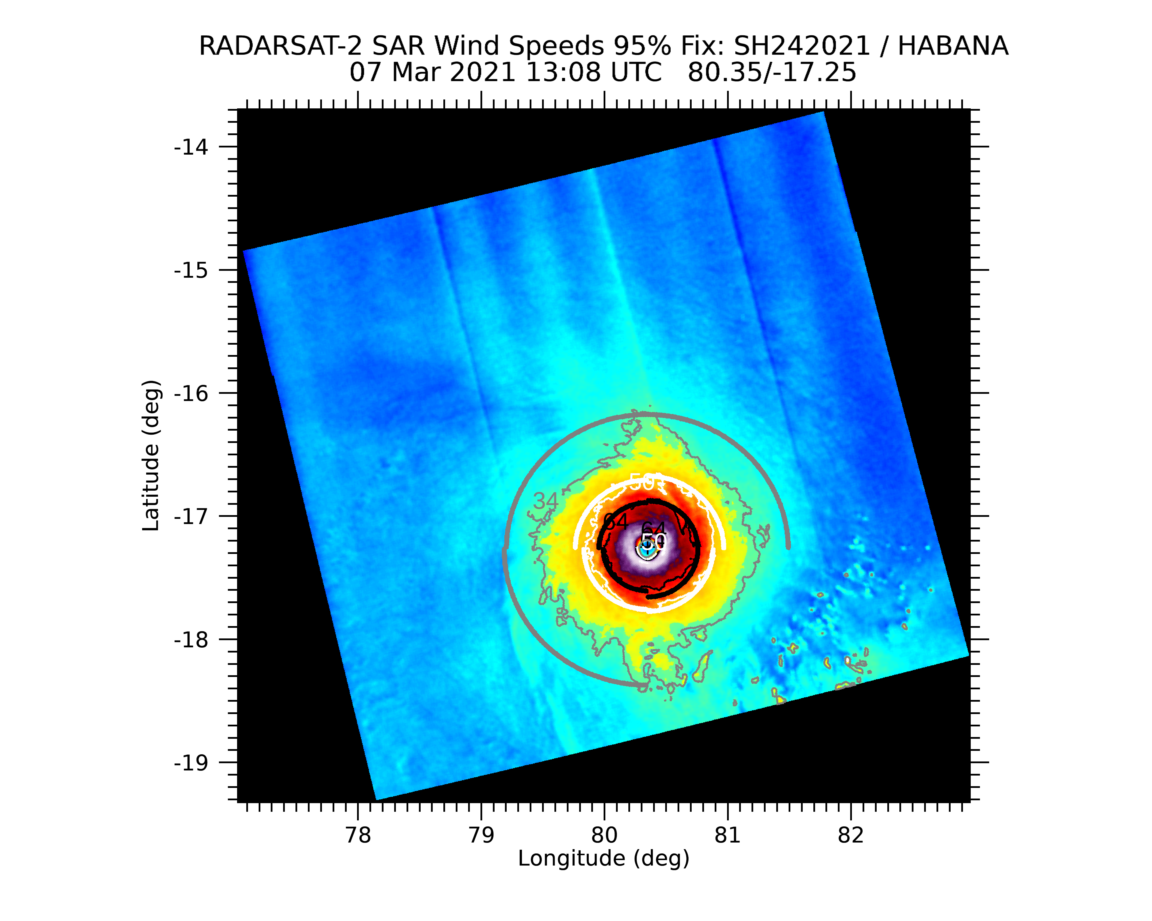
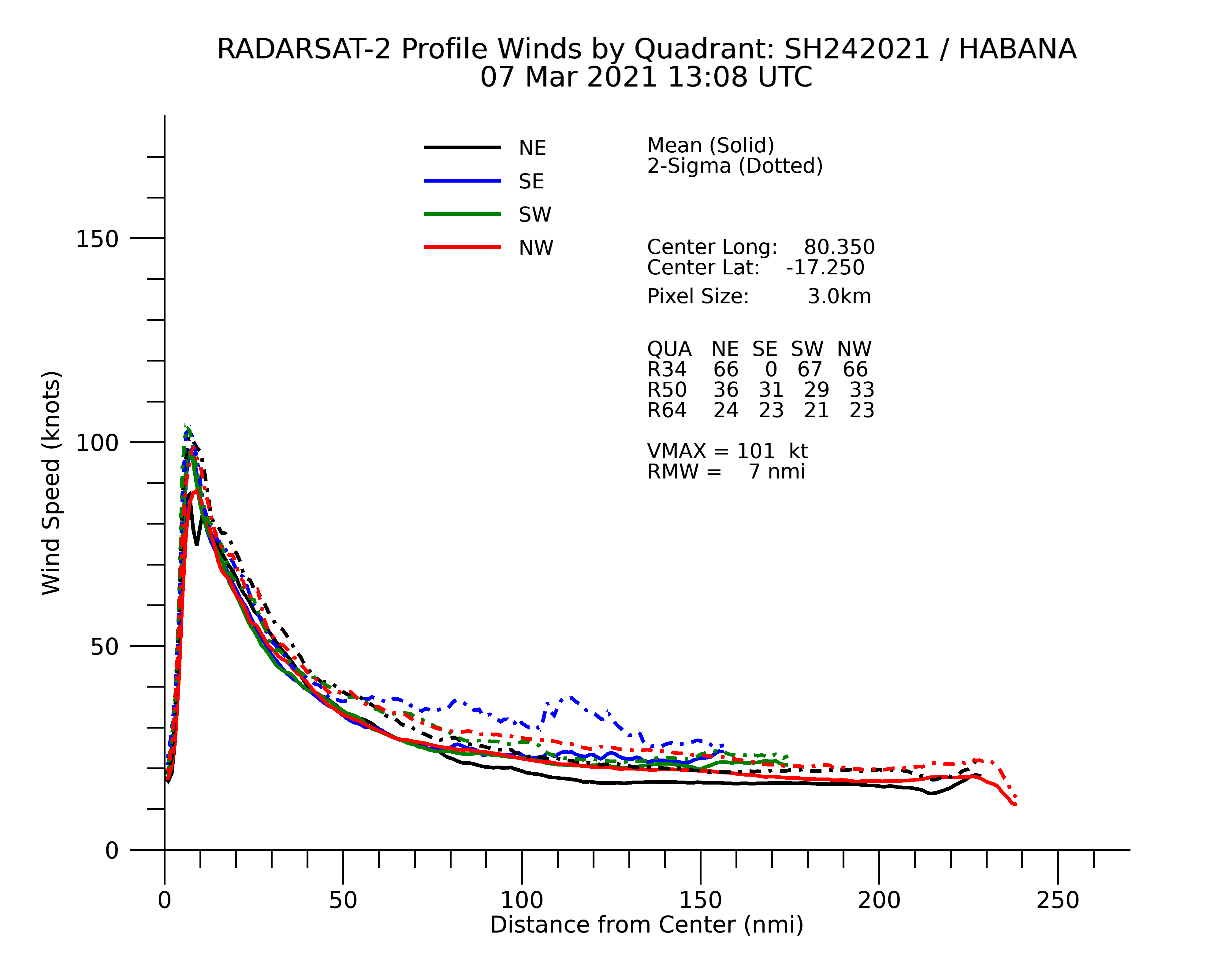
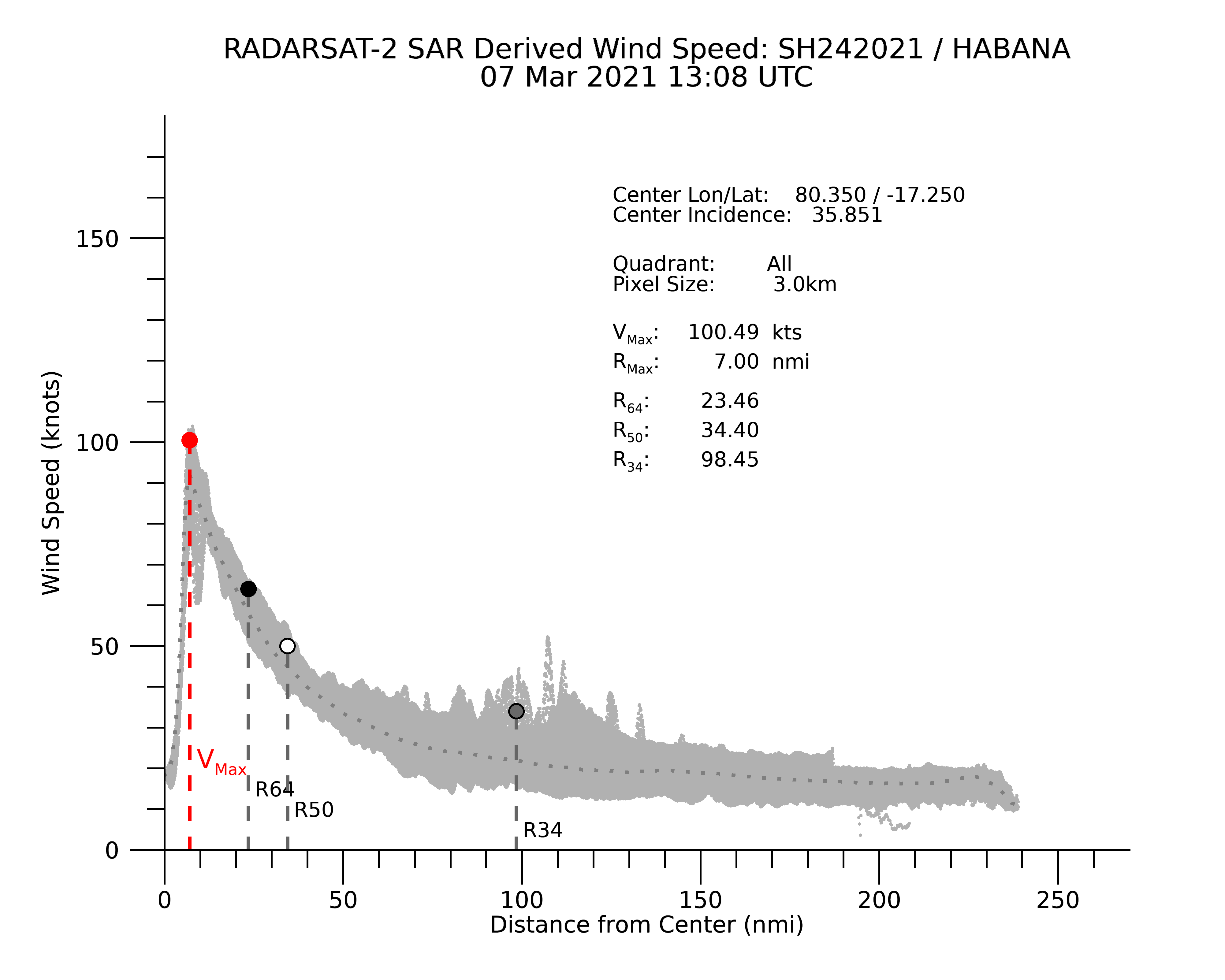
SAR Wind Products - Tropical Cyclone Winds
| Storm Name | ID | Time (UTC) | Satellite |
|---|---|---|---|
| BUD | EP022024 | 2024-07-27 01:57 | RCM-2 |
Last Updated: 2024-07-26 05:19:18 UTC
This page is continuously being updated and results should be considered preliminary.
Please be aware that NOAA STAR is typically unable to request SAR imagery on an on-demand basis unless the request originates from a NOAA-affiliated agency.
Click here for a brief overview of this work, click here for further technical information, or contact us.
This webpage is developed and maintained by the NOAA/STAR/SOCD Water Surface Conditions/Synthetic Aperture Radar Team.
In late 2020 it was developed to showcase the most recent updates to the STAR SAROPS Tropical Cyclone System and to replace the original SAROPS tropical storm demonstrator. The page was updated again in May of 2023 with many enhancements to the interface. The archive was back-filled through 2016 with Sentinel-1 collections, and we are working on processing historical RCM collections back through 2020. Please note that some storms prior to 2019 have not been sanitized completely.
Possible Significant Sources of ErrorWhile the STAR SAROPS Tropical Cyclone System is designed to run autonomously, there are a few factors which may introduce erroneous initial results. A primary source of error is caused by inaccurate storm center coordinates, which are only as good as the estimates derived from the preliminary storm track observations. Secondly, in storm scenes containing areas of land, the mask may not cover the edges completely. This can lead to "land contamination" wherein coastlines are falsely interpreted as areas of high wind. Lastly, in rare instances the data feed may be missing a particular scene in a sequence for a storm observation and can cause incongruities in the combined imagery. If human intervention is needed to correct for any of these reasons, we can usually reprocess the data within a few hours, although occasionally it may take a day or more during non-business hours.
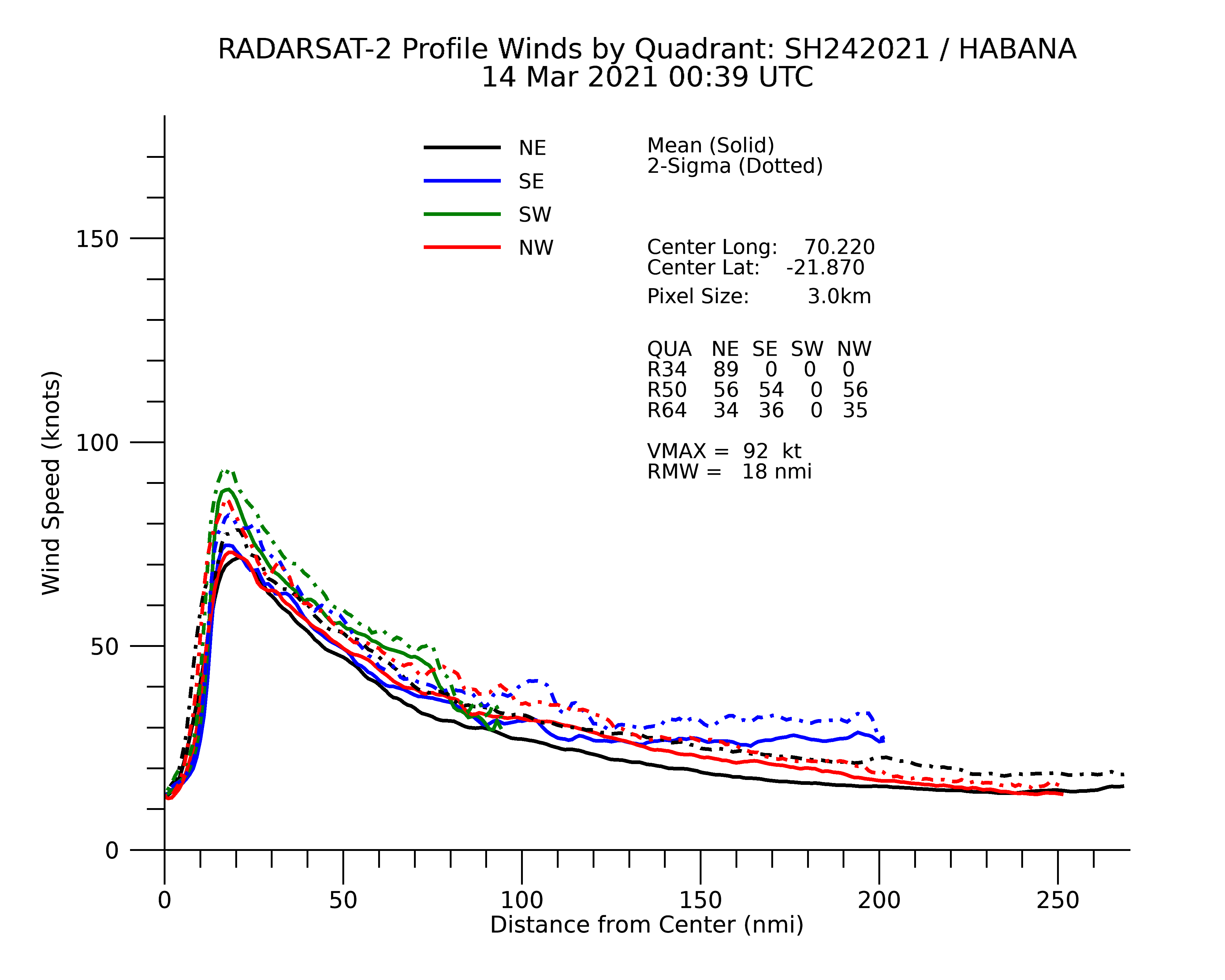
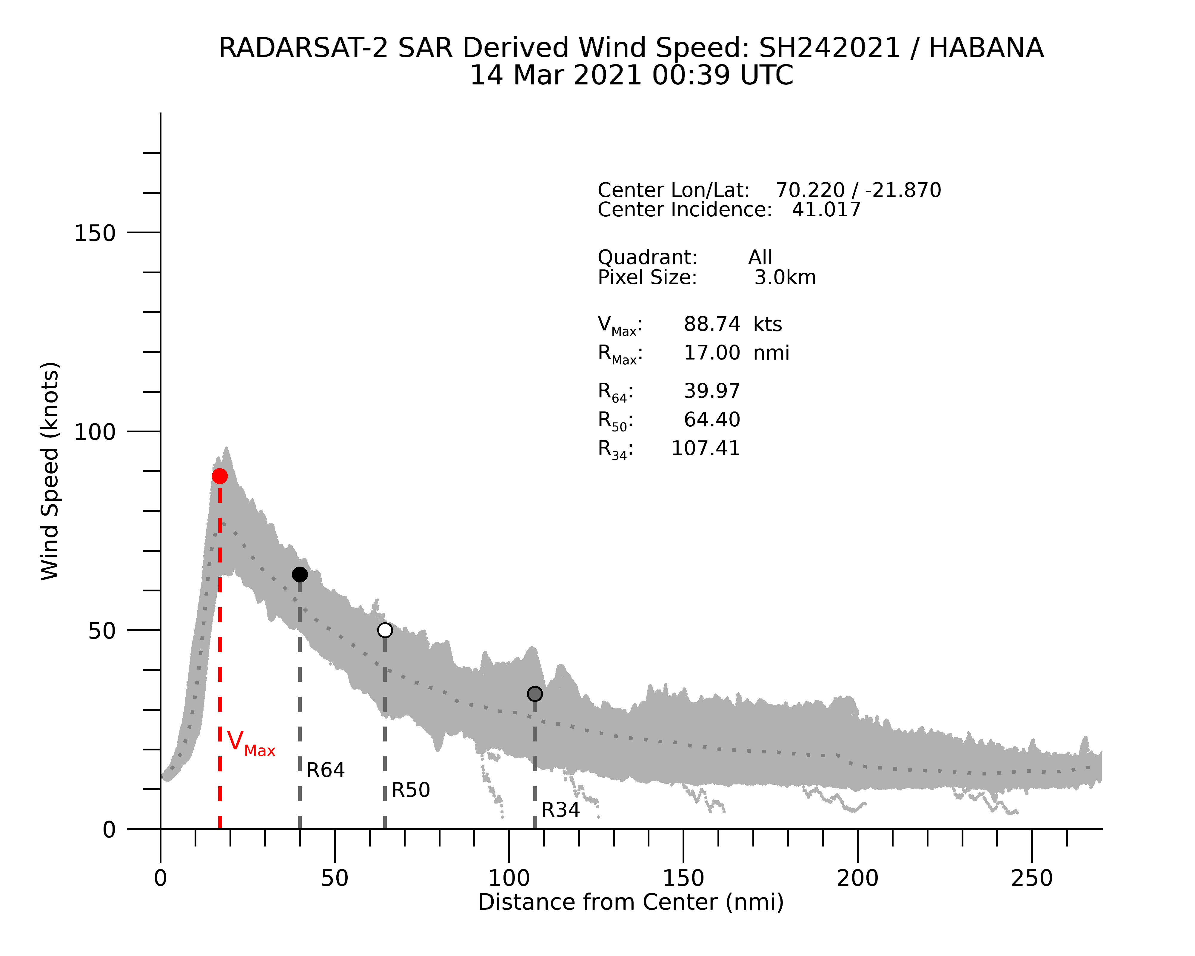
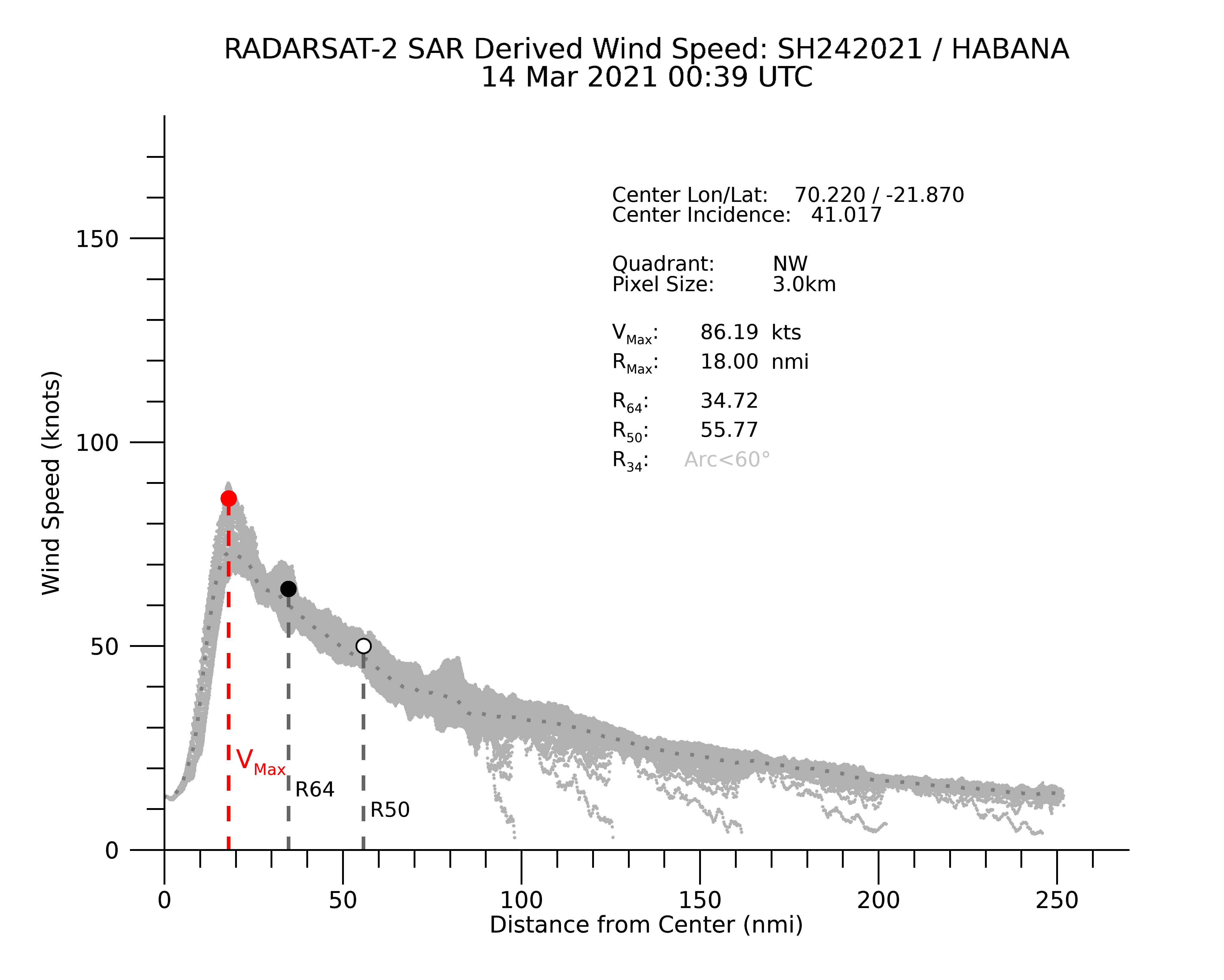
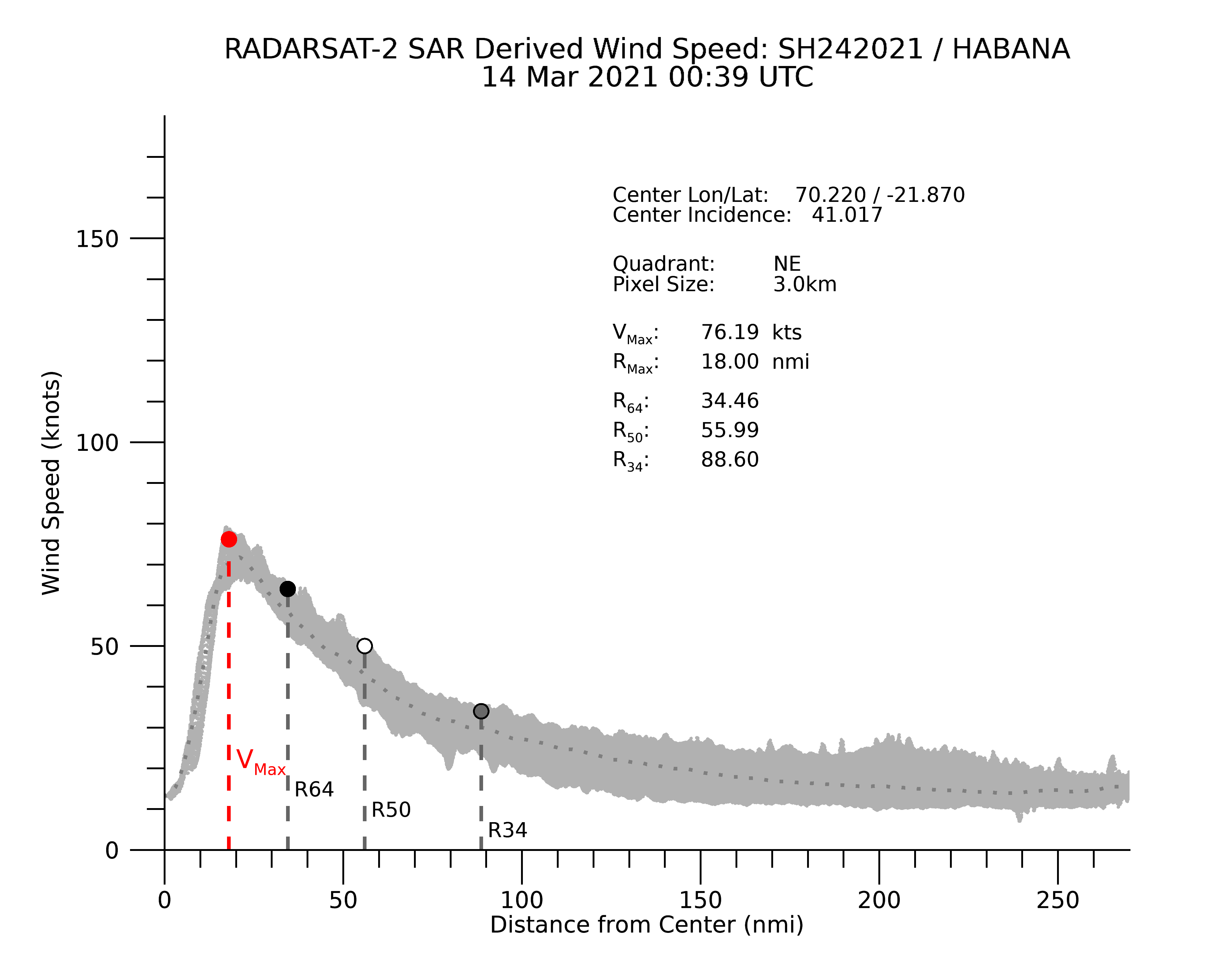
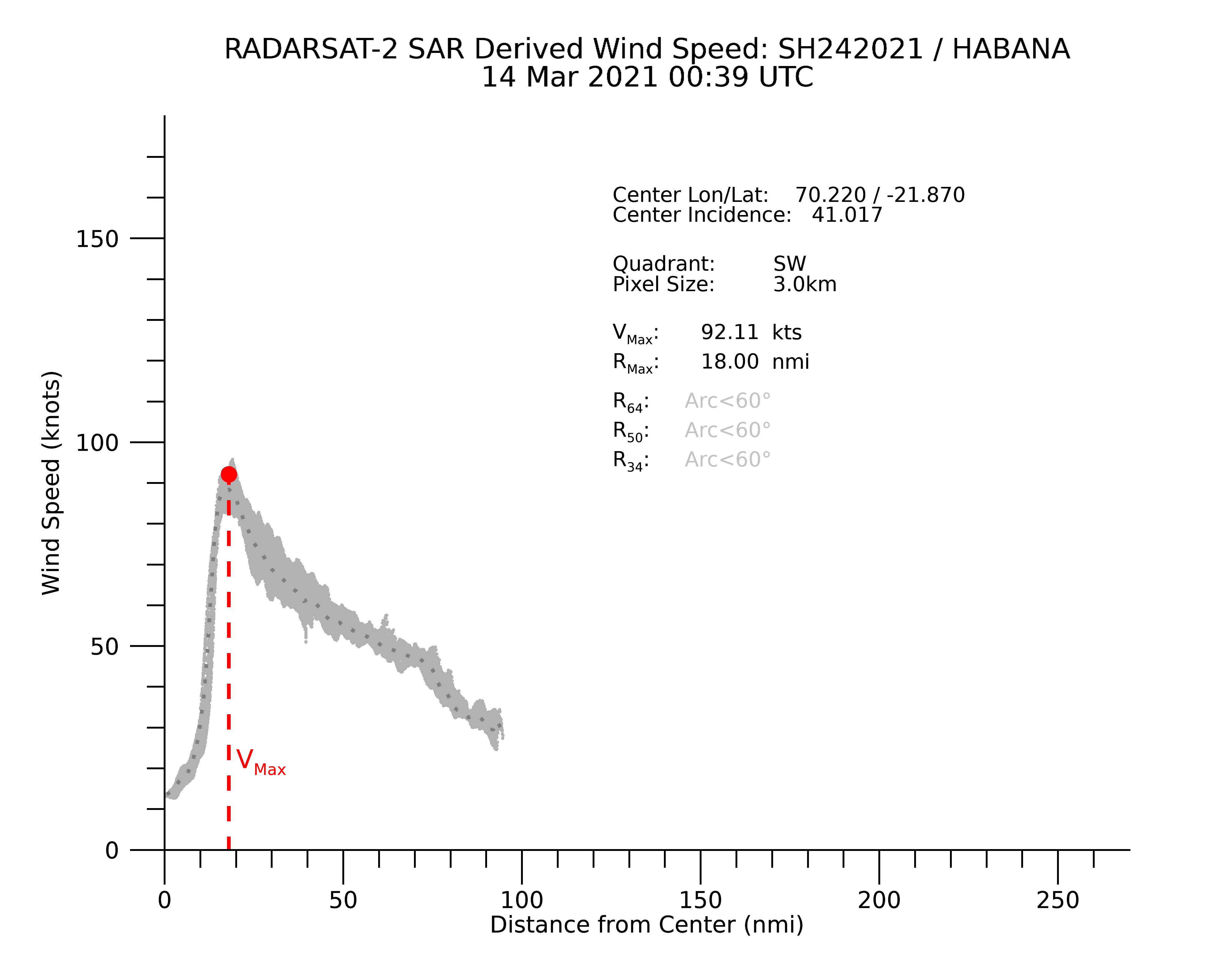
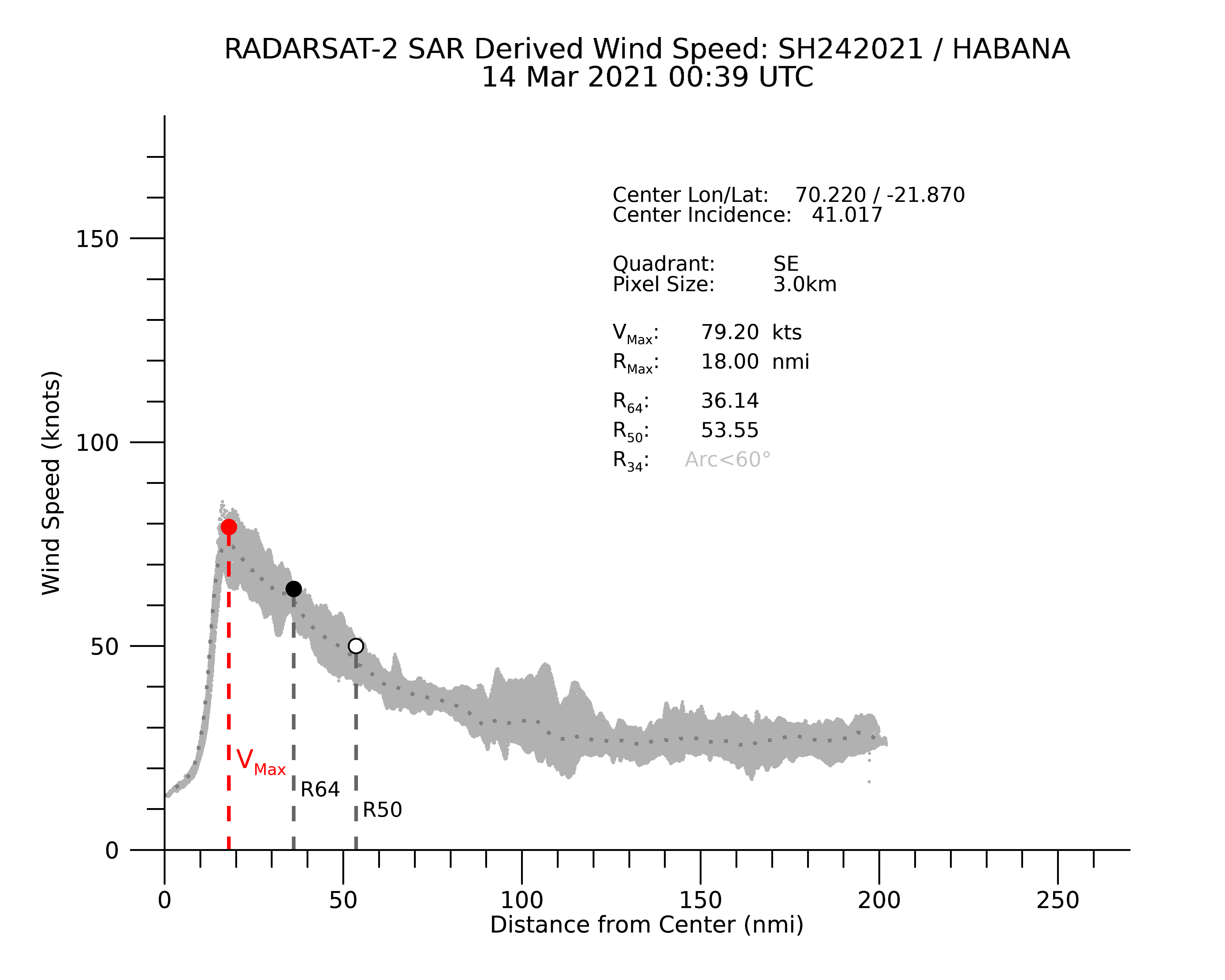
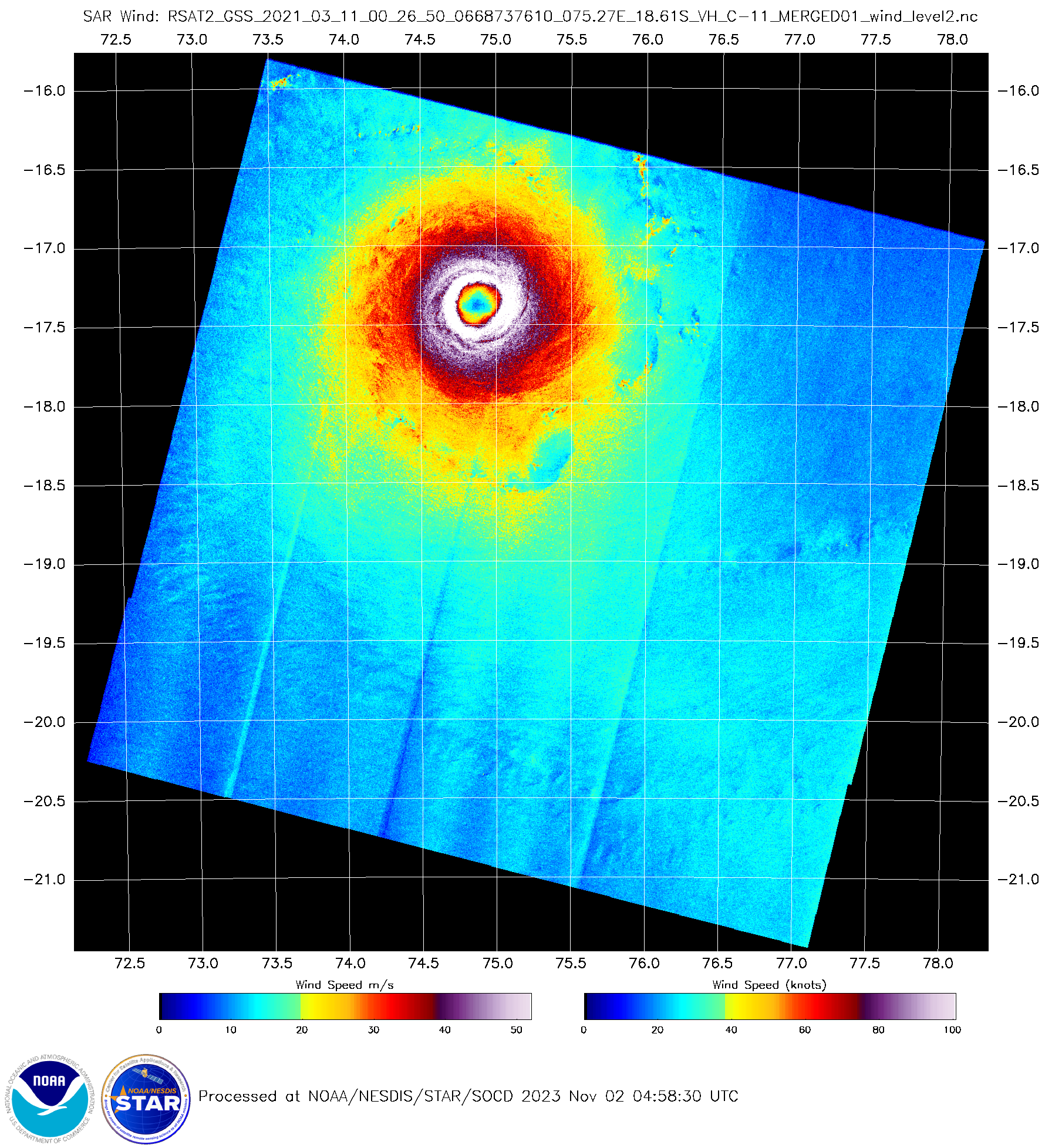
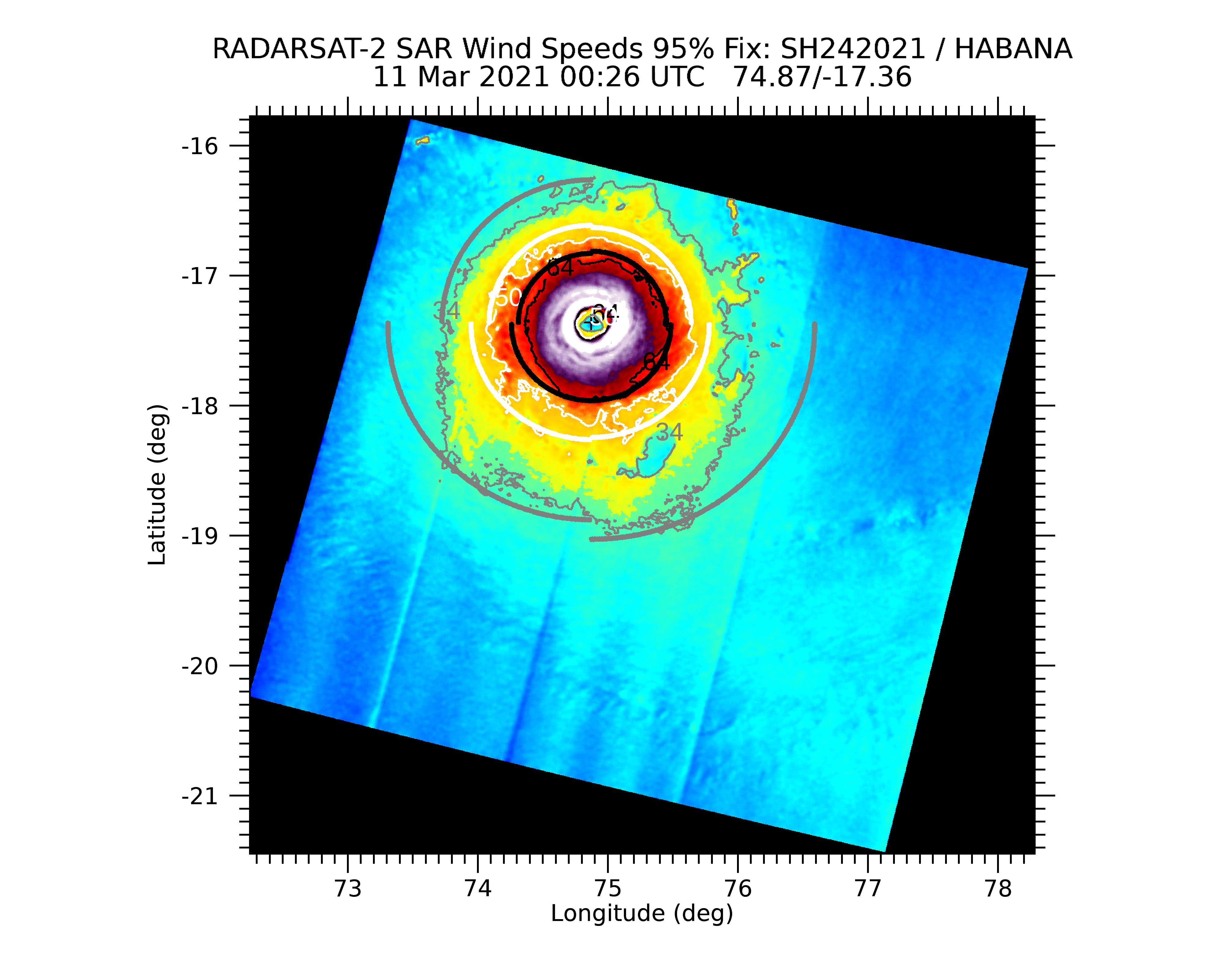
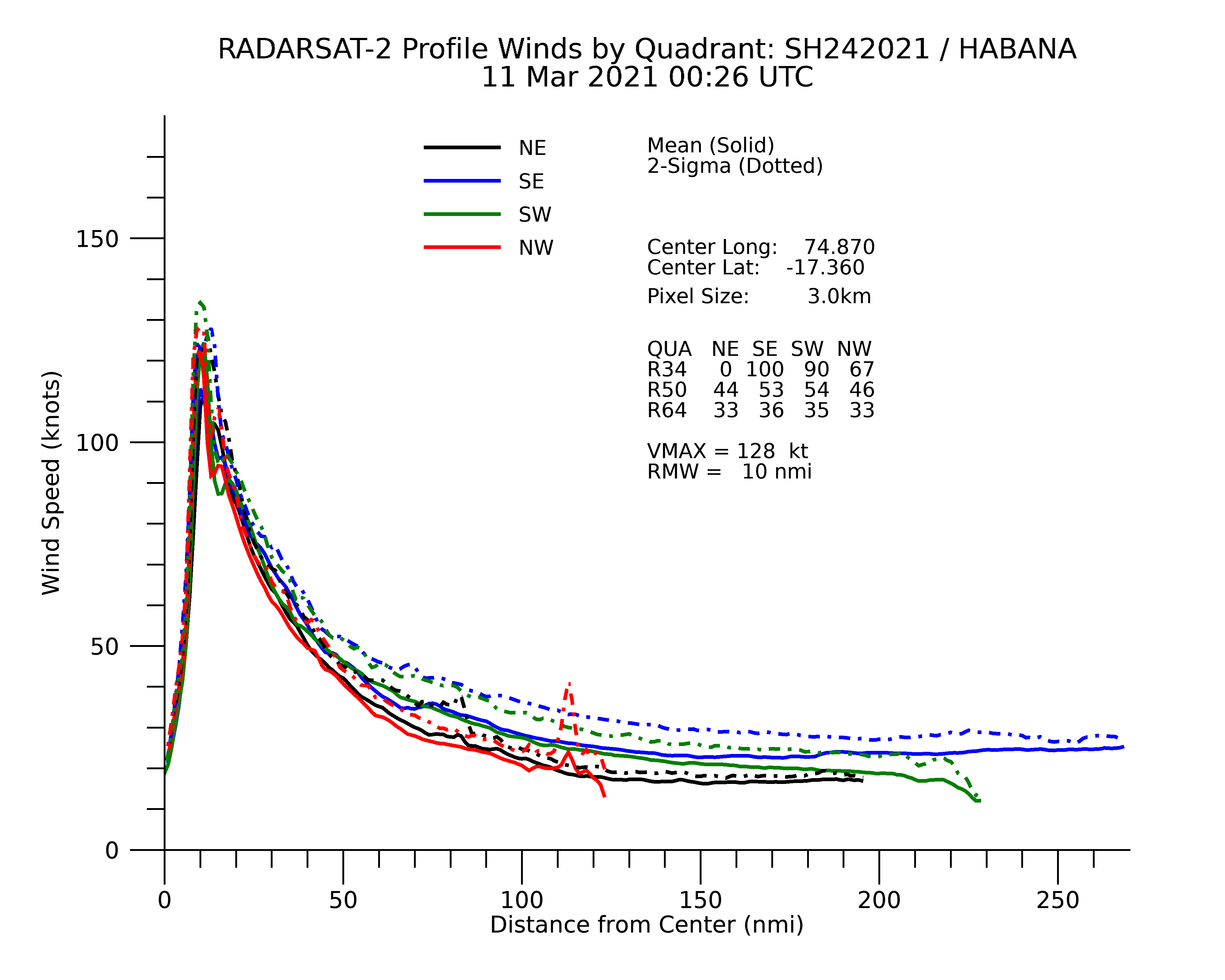
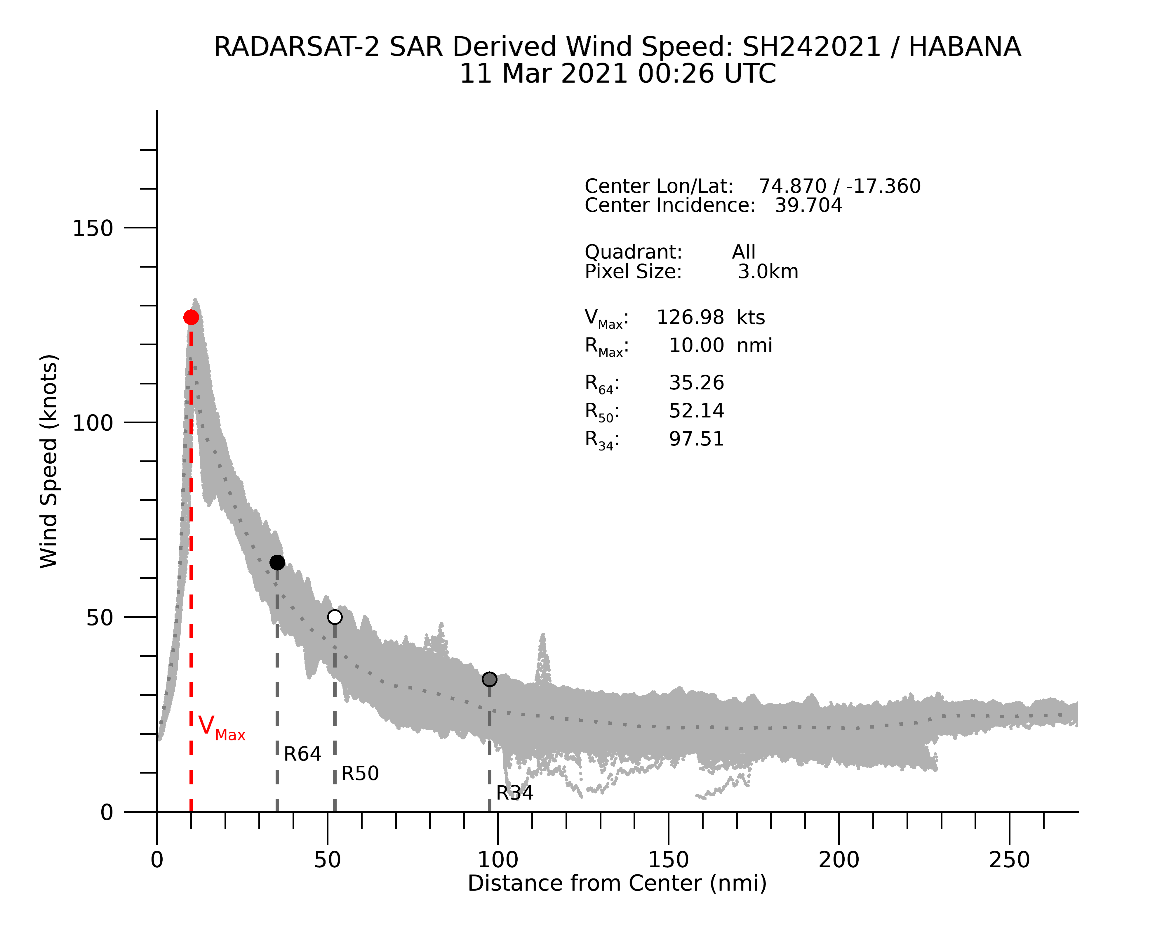
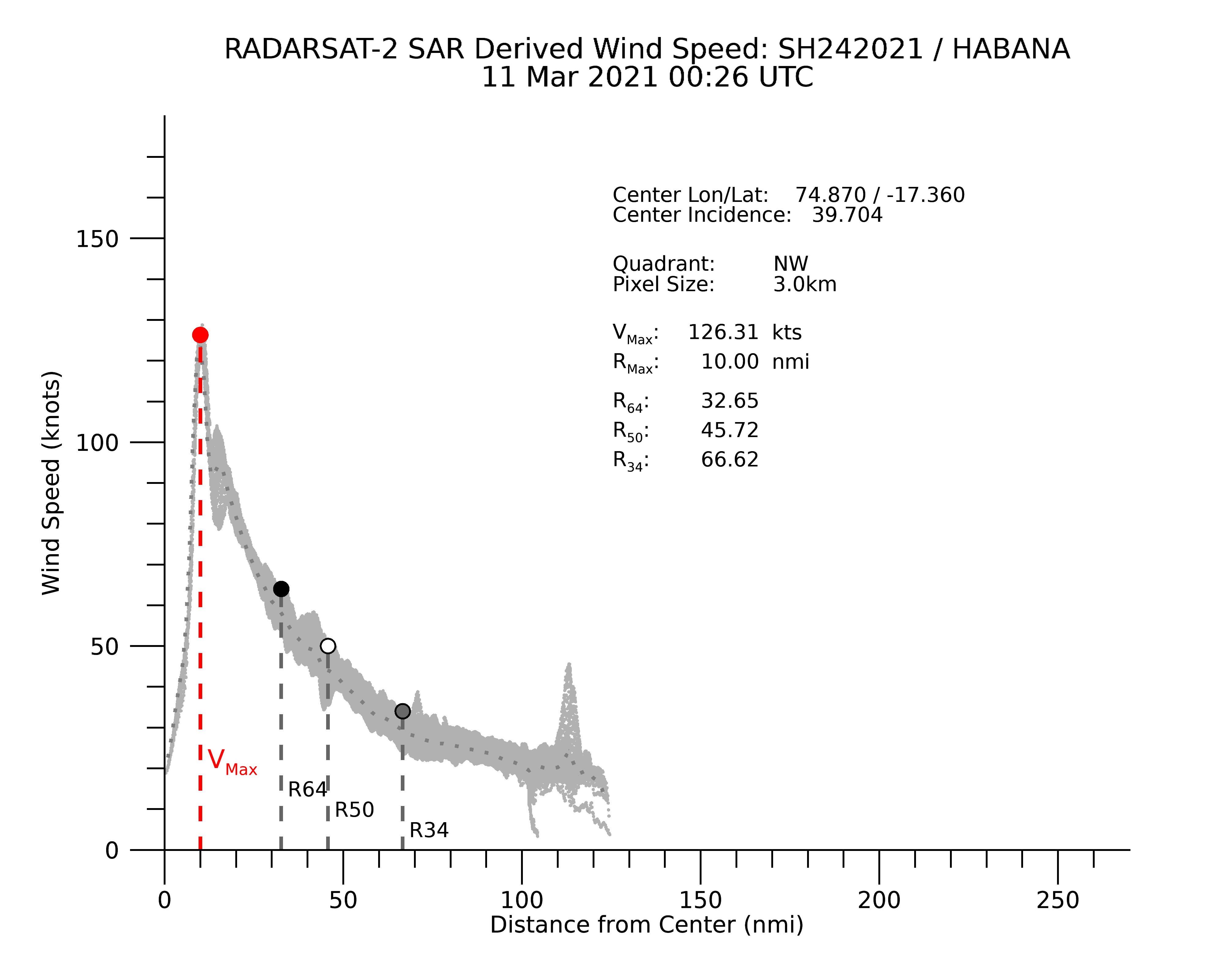
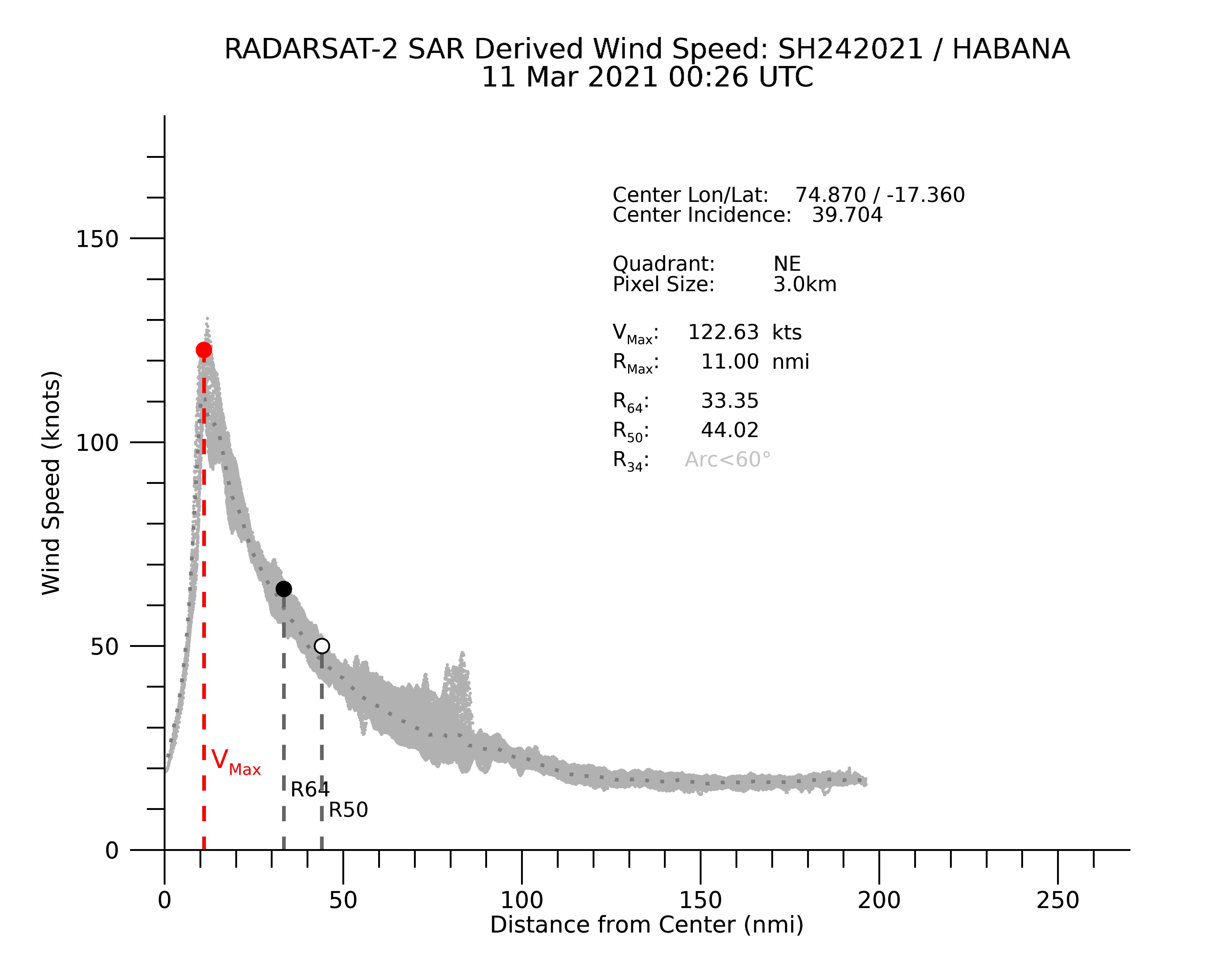
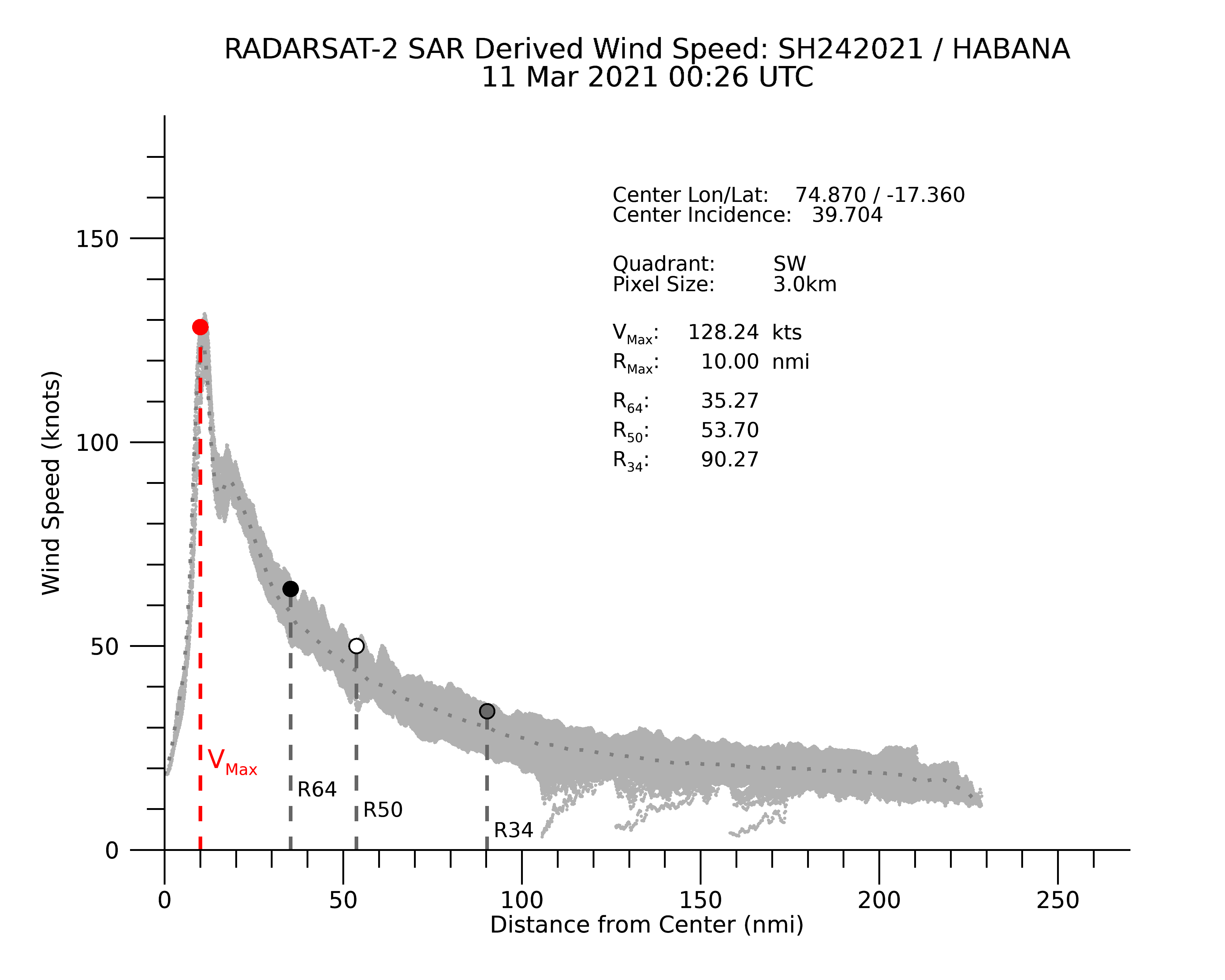
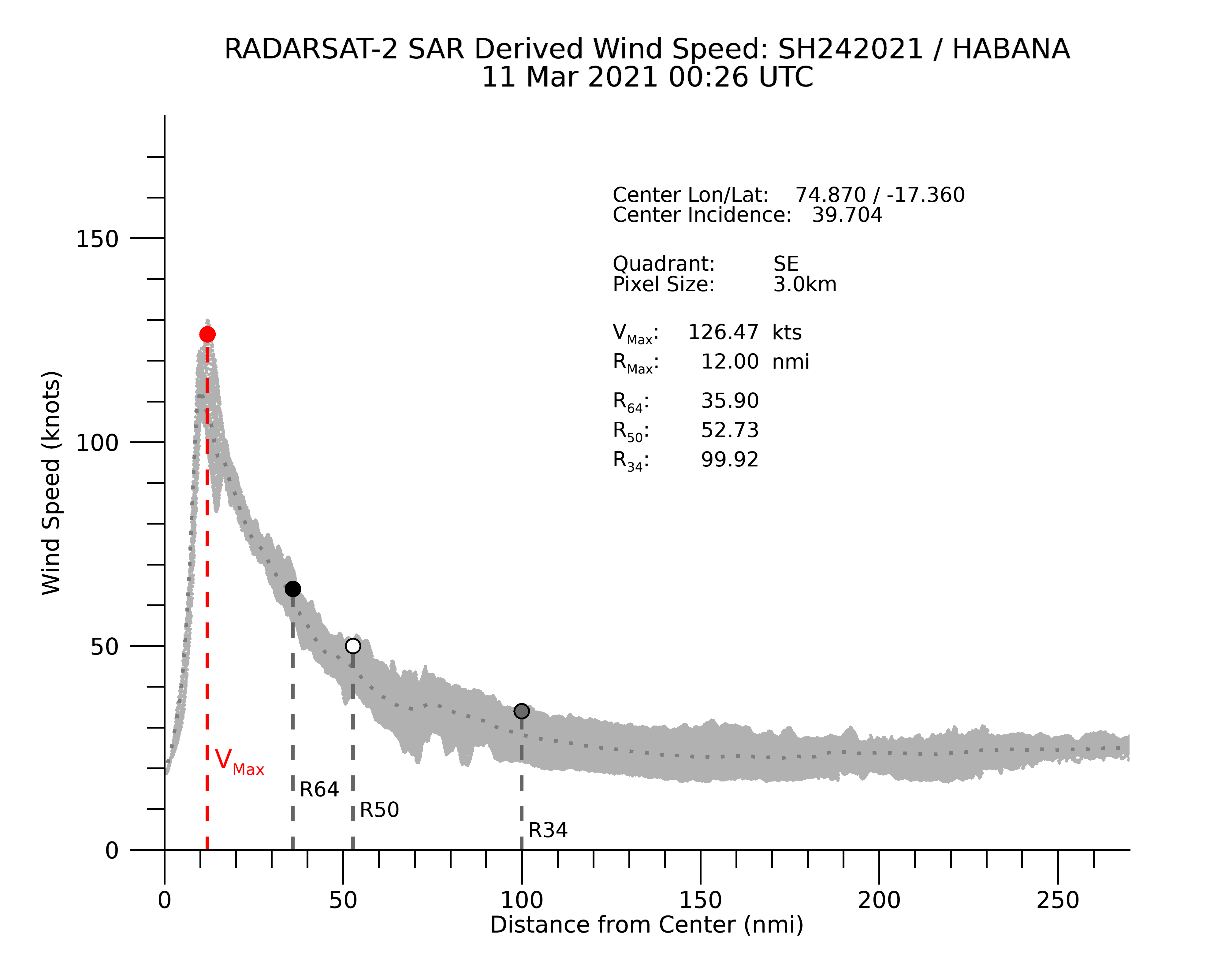
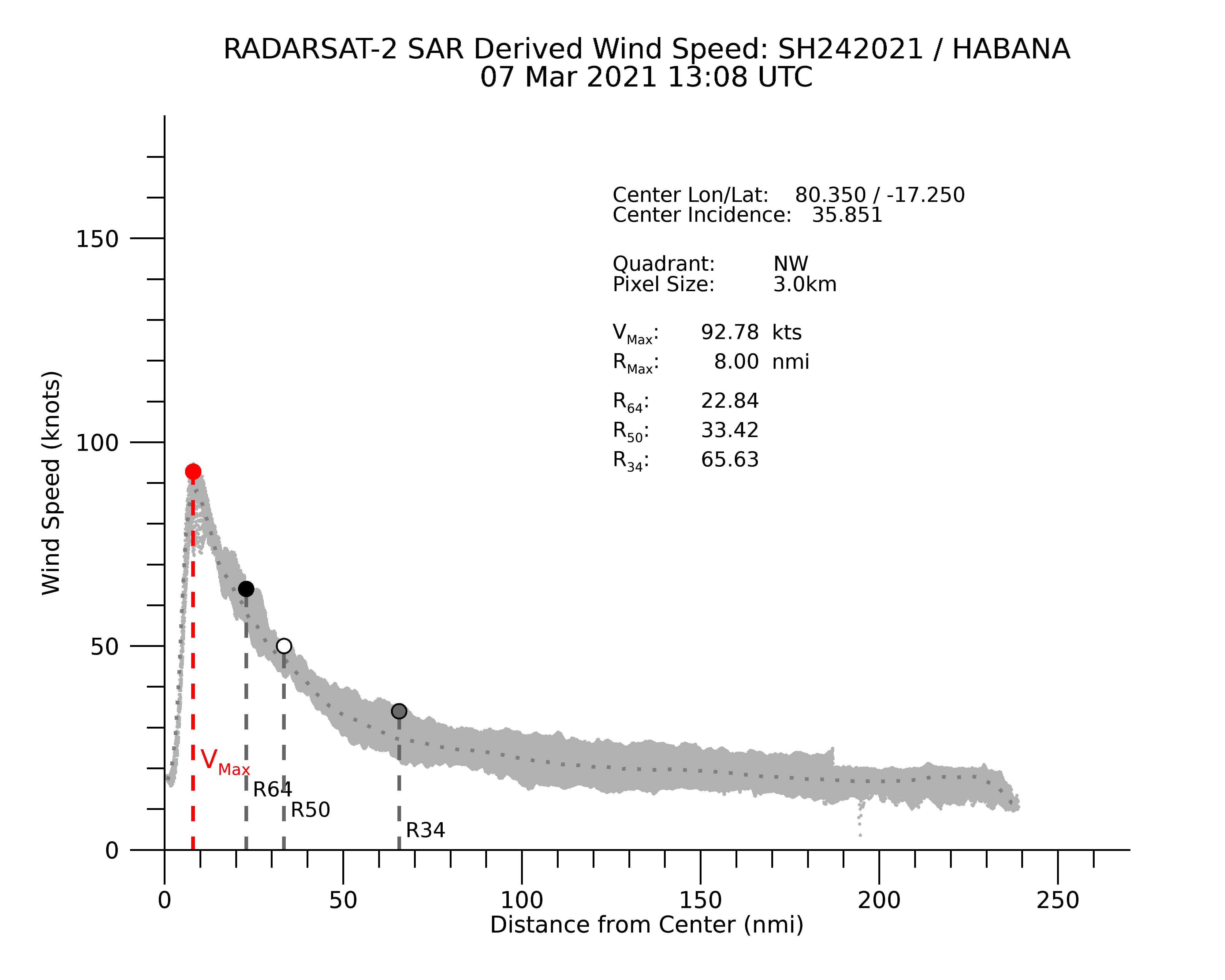
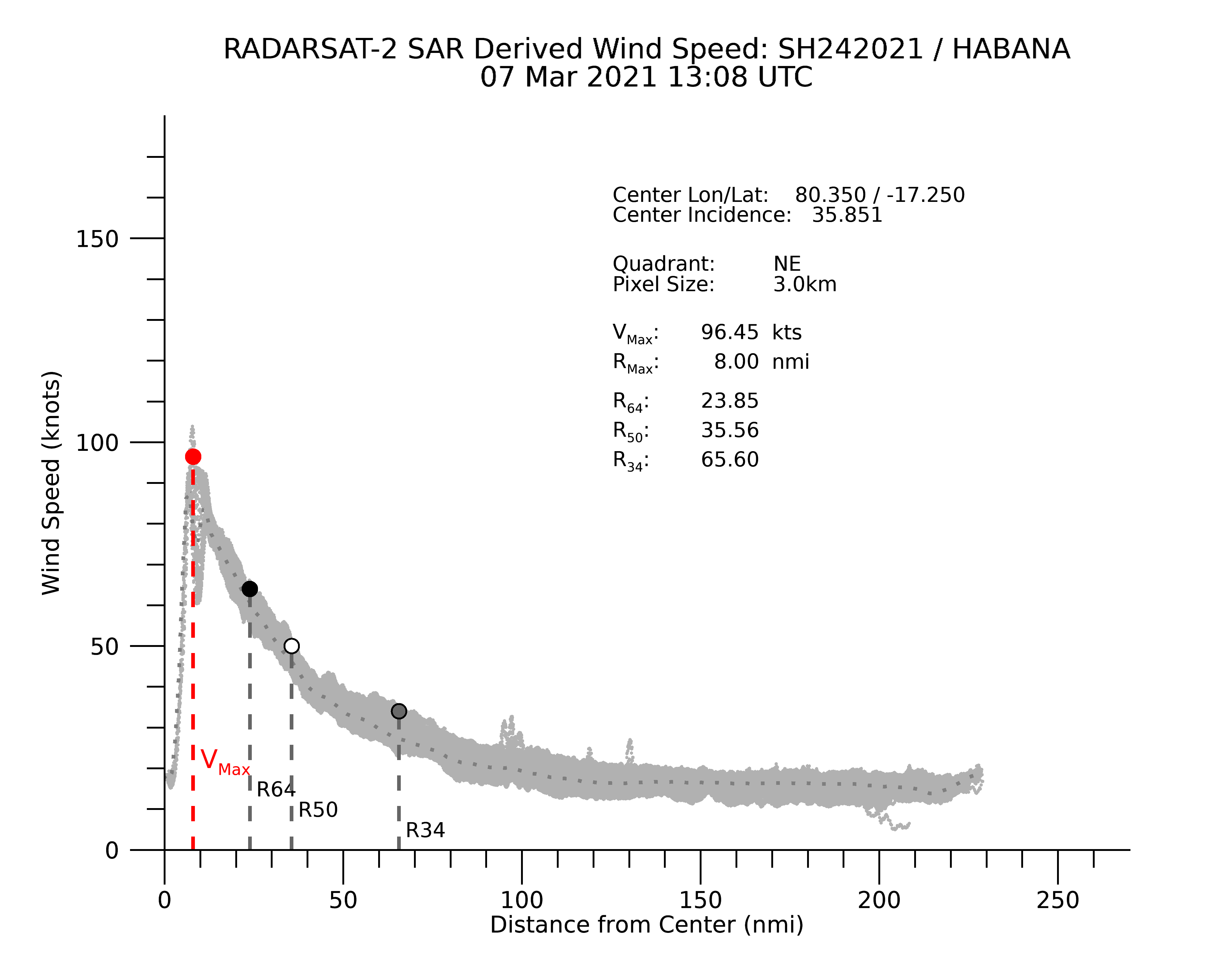
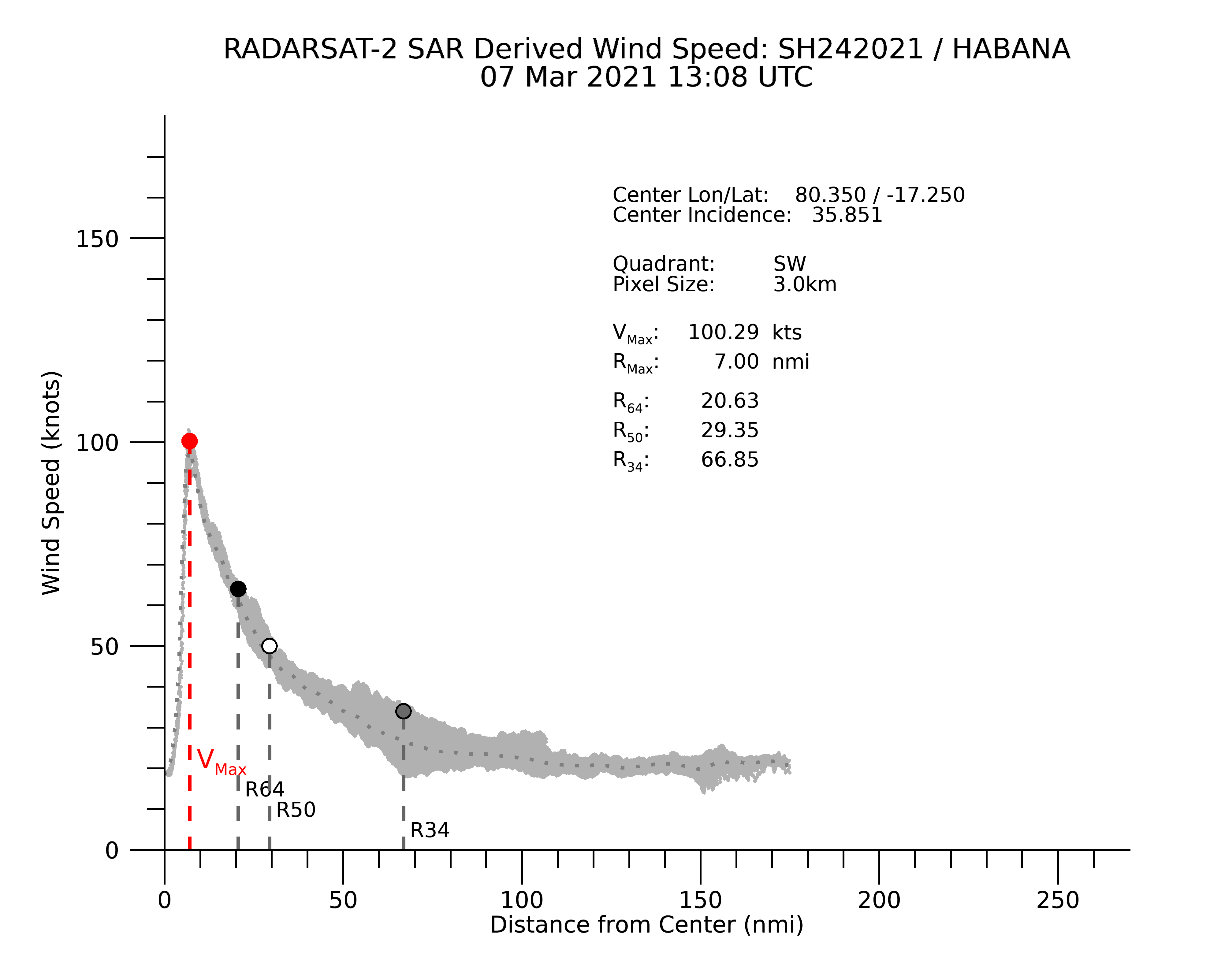
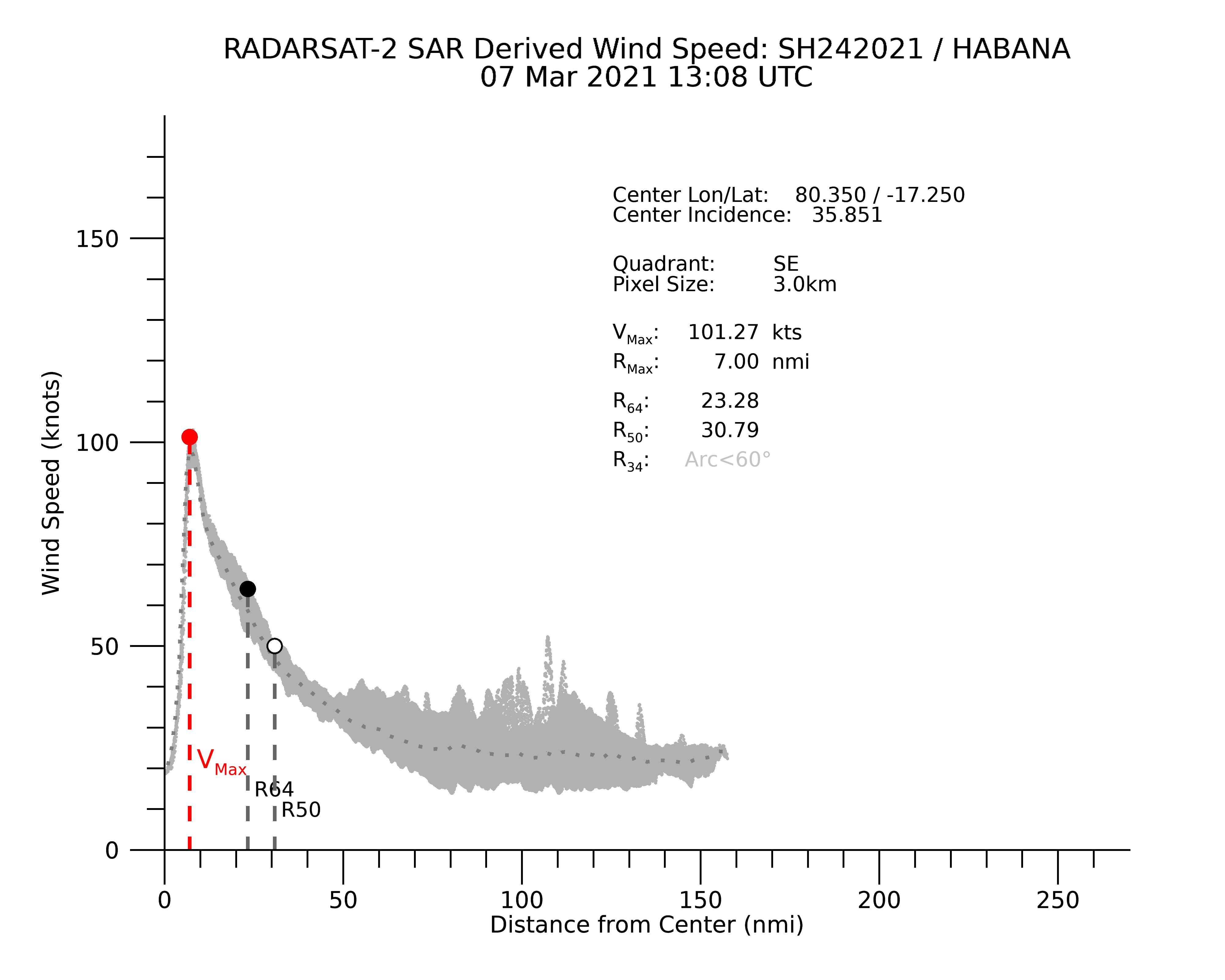
Recent Work and Future PlansThe STAR WSC/SAR team continuously strives to make improvements and useful additions to this page. In 2022, we have implemented a more accurate methodology for calculating radial wind profiles, maximum wind speed, radius of maximum winds, and the radius of the 34, 50, and 64 knot winds. As of June 2022, wind products derived from the Radarsat-2 SAR are using an improved geophysical model function (GMF). Also, a new color scale is being used to better display wind values exceeding 75 knots. Radarsat Constellation Mission (RCM) data have also been incorporated into the SAROPS Tropical Cyclone System.
(New - June 2023) Improved GMFs for Sentinel-1, Radarsat-2, and RCM were implemented on June 23, 2023 for storms going forward, and previous storms will be reprocessed over the next several months. Click here for further technical information on the development of geophysical model functions and wind speed interpretation.
We plan on introducing wind analysis using high-resolution ASCAT data in the near future for comparison to the SAR results, and in 2023-2024 we expect to incorporate the Sentinel-1C and NISAR sensors after launch and calibration.
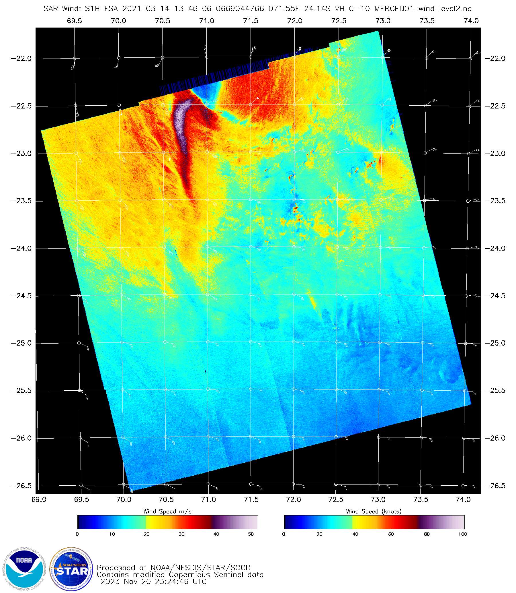
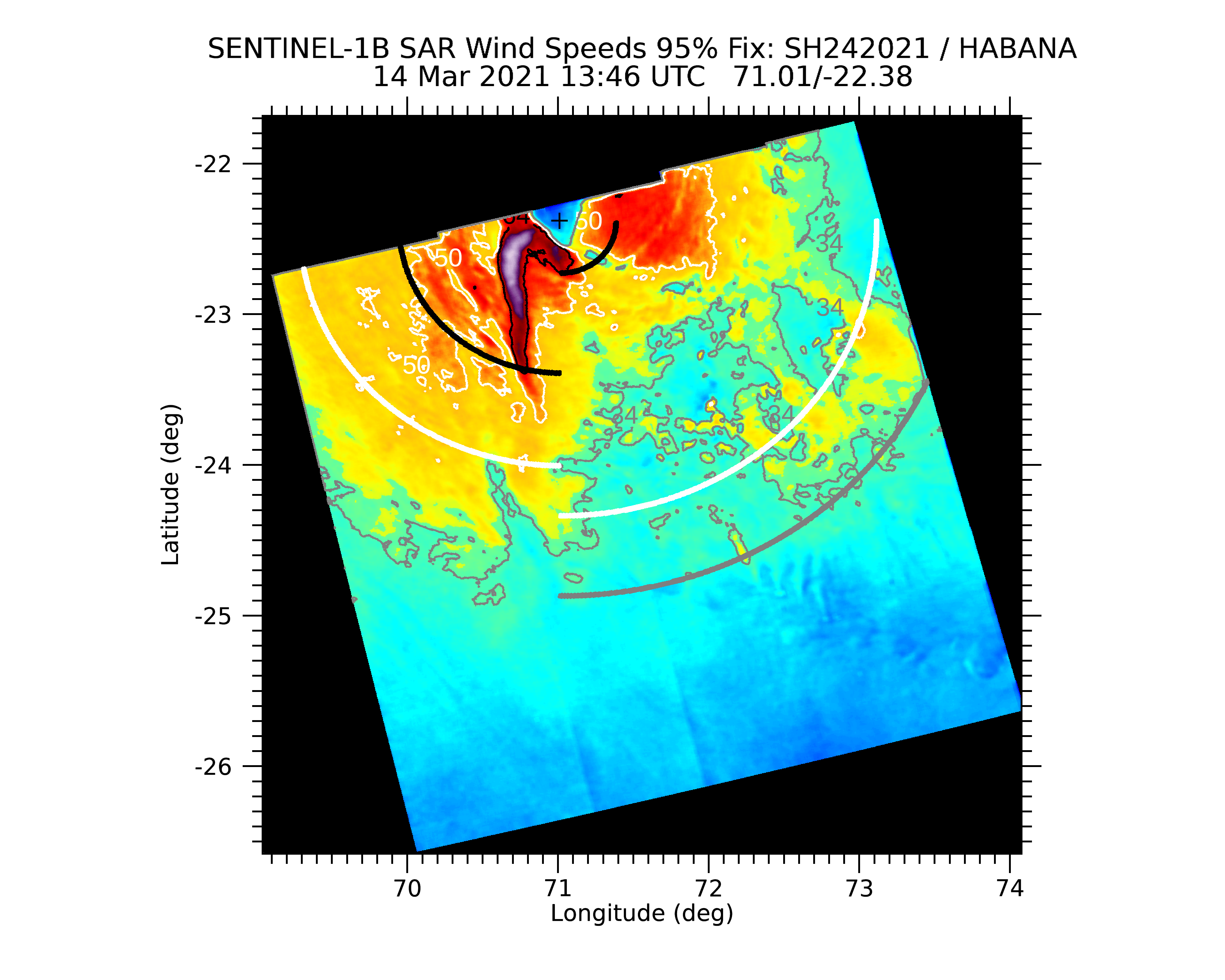
| Earliest scene: 2021-03-07 13:08:54 UTCLatest scene: 2021-03-14 13:46:06 UTC | ||

