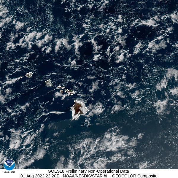
GOES-18 Interleave Testing
From 14 October through 16 November 2022, GOES-West images published on this site will be sourced from GOES-18 data, rather than the operational GOES-17 satellite.
As part of the effort to prepare the new GOES-18 satellite for use as the operational GOES-West satellite this coming winter, we are using GOES-18 data to populate the GOES-West-sourced images for this site, and other parts of NOAA are using GOES-18 data as well. This period of substitution and testing is called the interleave period.
Utilizing GOES-18 during August also gives NOAA and our users access to a data stream that doesn't suffer from the seasonal overheating that periodically impacts GOES-17 infrared bands. GOES-18 will eventually become GOES-West when it goes operational, which is expected to happen in January 2023.
We are producing all the same sectors, views, and channels from GOES-18 as from GOES-17. The GLM images will use GOES-17 data for lightning images, superimposed over Geocolor or Band 13 GOES-18 data.
If you have any questions or concerns, please contact us at NESDIS.STAR.Webmaster@noaa.gov.

