STAR / SMCD / EMB Radiation Budget
GOES-based Solar Resource Data Base
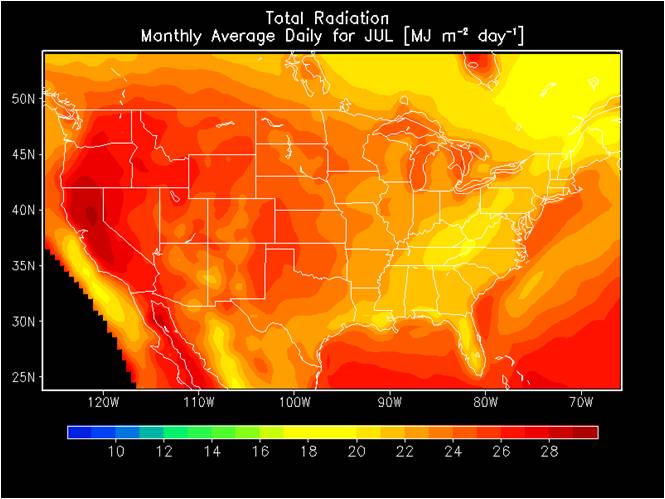
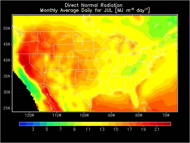
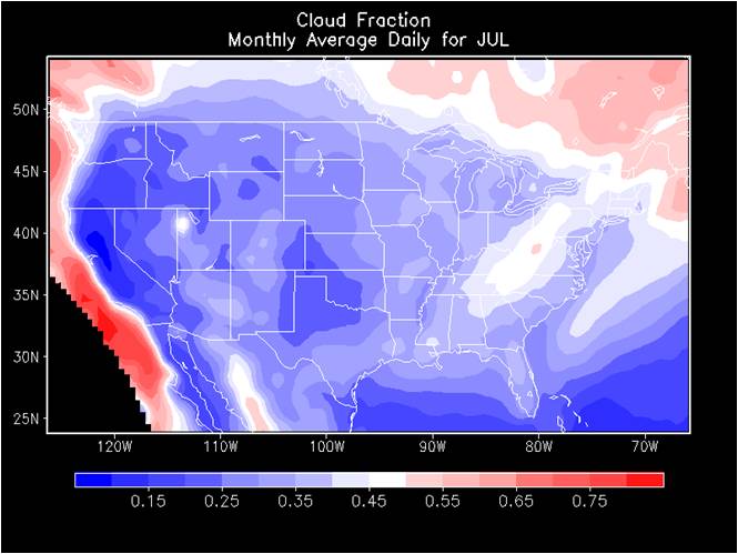
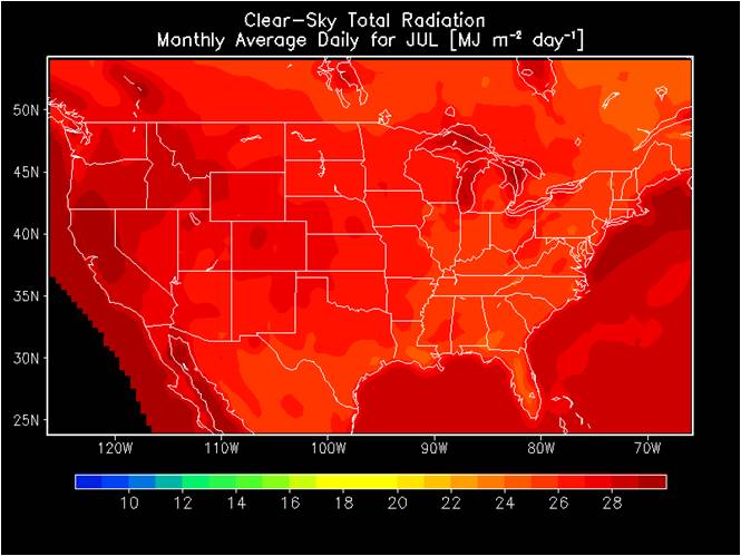
The parameters described at and accessible from this site are thought to be useful for estimating availability of solar energy over the contiguous United States (CONUS). These parameters are derived from data in Version 1 of the GOES Surface and Insolation Product (GSIP-v1), which was the operational product until April 2009. This process involves applying simple quality control to discard suspicious data in the operational product, filling in missing cells by applying temporal and spatial interpolation, and calculating the desired solar resource parameters. The characteristics of the data are summarized in the table below:
| Temporal domain: |
January 1, 1999 - December 31, 2009 (except April 1, 2001 - May 3, 2001) |
| Temporal resolution: |
hourly, daily, monthly, multiyear-monthly |
| Spatial domain: |
71o-124oW longitude and 25o-50oN latitude (before 5/4/2001 0 UTC) 66o-126oW longitude and 24o-54oN latitude (starting 5/4/2001 0 UTC) |
| Spatial resolution: |
0.5 degrees (~50 km) |
| Mapping: |
equal-angle latitude and longitude grids |
| Output format: |
Hierarchical Data Format (HDF) v4.2.8 |
| Operations status: |
Historical |
Data Access and Parameter Definition
The data in version 1 of the Solar Resource Data Base (SRDB-v1) can be accessed from this page.
Parameters available in the data base are listed on this page.

