NOAA P-3 Hurricane Hunter conducting science flights
for Operation IceBridge Spring 2016 Campaign
20 April 2016 - The NOAA Hurricane Hunter "Miss Piggy" and the NASA Operation IceBridge team
arrived on site at Thule Air Base, Greenland on Monday evening, and quickly
departed for the first science mission of the season Tuesday morning, 19 April
2016. Using a suite of remote sensing instrumentation, the aircraft surveyed
shore-fast sea ice near Eureka Fjord, Ellesmere Island, Canada. NOAA/STAR and
CICS scientists are participating in the NASA Operation IceBridge Spring 2016
mission. CICS scientist Dr. Thomas Newman is participating in the field
expedition to Ellesmere Island, as a guest of the Environment and Climate Change
Canada (ECCC) team.
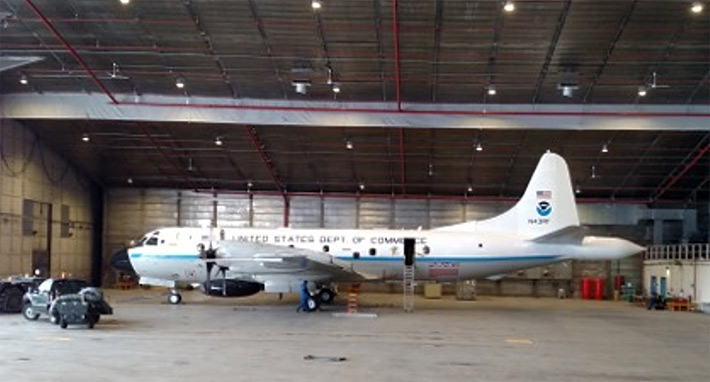
NOAA P-3 Orion Hurricane Hunter, "Miss Piggy", in the hanger at Thule Air Base, Greenland.
(Credit: J. Yungel/ATM Team/NASA)
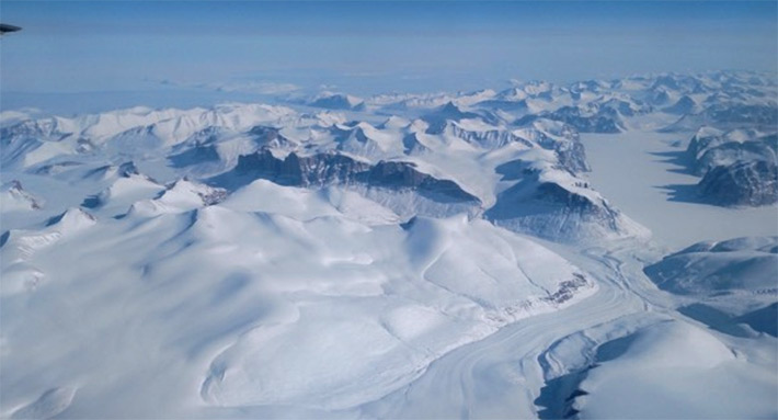
NASA Operation IceBridge mission flies over Ellesmere Island, Canada on 18 April, 2016.
(Credit: J. Yungel/ATM Team/NASA)
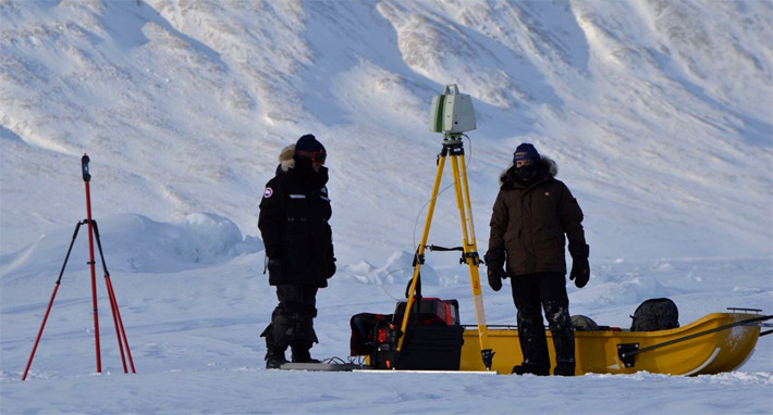
CICS research scientist Thomas Newman (right) and colleague conduct an
experiment to measure snow properties on shore-fast sea ice, Eureka, Canada,
as part of the Environment and Climate Change Canada (ECCC) sea ice field
survey, April 2016. (Credit: Arvids Silis, ECCC.)
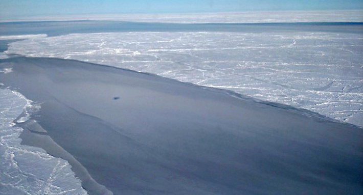
New sea ice growth within a lead in the Arctic ice pack.
(Photo credit: J. Yungel/ATM Team/NASA)
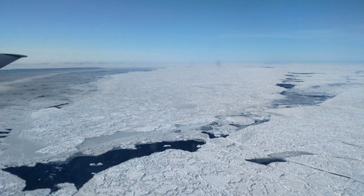
Sea ice floes in the Arctic Ocean, 20 April 2016.
(Credit: J. Yungel/ATM Team/NASA)
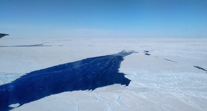
Sea ice floes and a lead, Arctic Ocean, 20 April 2016.
(Credit: J. Yungel/ATM Team/NASA)
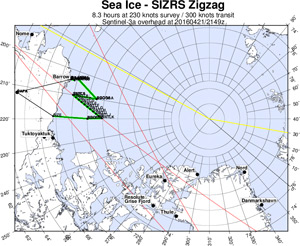
Map depicting the IceBridge 2016 flight plan for the April 22 underflight of Sentinel-3A; green lines = IceBridge; pink lines = Sentinel-3A. Credit: J. Sonntag/NASA
(click to enlarge)
Next the NOAA P-3 will survey the sea ice cover along a number of planned
flight lines, arranged to cross the Arctic Ocean. Dr. Sinead
Farrell, a member of the NASA IceBridge Science Team, has used
near-real-time remote sensing data to optimize the layout and location of
these airborne surveys so as to obtain measurements of sea ice floes of
varying age and thickness. One flight aims to fly beneath the European
Sentinel-3A satellite to obtain calibration and validation data to assess
the satellite estimates of sea ice freeboard and thickness. This flight was
proposed by the NOAA Sentinel-3A Validation Team, led by LSA's Dr.
Eric Leuliette. On Wednesday 20 April 2016, the NOAA P-3 departed
Thule Air Base for Fairbanks, Alaska, conducting a survey across the Arctic
Ocean along a flight line known as the "Laxon Line". This flight is named
in honor of the late Prof. Laxon, from the Centre for Polar Observation and
Modelling, University College London. New data collected during the NASA
Operation IceBridge campaign will allow for the continued assessment of
inter-annual variability in the Arctic ice cover and the impact of climate
change on the region.
Link
|

