- STAR Home
- > SMCD Home
- > Uses of Himawari-8 AHI Data for GOES-R ABI Calibration Risk Reduction
Demonstrate Uses of Himawari-8 AHI Data for GOES-R ABI Calibration Risk Reduction
Principal Investigator: Xiangqian "Fred" Wu

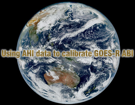
True color image by
AHI on 15 Jan 2015, 02:30 UTC. [Courtesy of JMA for data and of S.
Miller (CIRA) for true color scheme.]
After the Japan Meteorological Agency (JMA) decided to launch the
Advanced Himawari Imager (similar to Advanced Baseline Imager), it was
recognized that NOAA's experience with ABI development, in particular
instrument calibration and validation (cal/val) and meteorological
product algorithms, would be invaluable for JMA. Meanwhile AHI would be
launched 12 months before ABI, allowing NOAA to learn from early AHI
data to reduce ABI risks. These mutual benefits led to the NOAA-JMA
collaboration on respective advanced geostationary meteorological
satellite systems, which was formalized in January 2012. As part of this
collaboration, I was tasked to demonstrate, by June 2015, the use of AHI
data for GOES-R ABI risk reduction.
A major challenge we faced was the limited available knowledge we had
on AHI, the first of a new generation. While we were experienced with GOES
calibration in general and ABI pre-launch tests in particular, we just
started to plan for ABI post-launch tests and there was no precedence of
AHI on-orbit performance. Differences also exist in spacecraft,
instrument, cal/val and Image Navigation and Registration (INR)
algorithms, and data format between AHI and ABI. To meet these challenges,
we studied AHI design and data format, and developed the AHI and ABI post-
launch test plans in parallel while keeping JMA well informed. We strived
to benefit JMA with NOAA expertise without violating ITAR and other
regulations. In February 2015, a NOAA delegation visited JMA and shared
our expertise through extensive discussions on various aspects of AHI
cal/val and INR. This visit, and the follow-up side meetings in March and
April and web meetings in May and August, greatly helped both NOAA and JMA
to understand AHI performance. As another result of this collaboration,
NOAA received early AHI data that have been a tremendous help to educate
users of ABI potentials, to fine tune product algorithms, and to test
ground system processing.
We also had a number of unexpected challenges during the collaboration.
In December 2014, shortly after the instrument saw the first light, it was
discovered that the scan mirror encoder malfunctioned occasionally,
causing excessive shutdowns. In January 2015, it was found that AHI INR
had unacceptable errors, putting many cal/val activities on hold. In
February 2015, unexpected stray light was found around satellite midnight.
With our effort and through collaboration with JMA, NASA, and Harris, we
overcame all these obstacles. All these experience, including the hardware
and software modifications by Harris, reduced the risks for ABI.
We shared our experience widely within GOES-R Program (NESDIS, NWS,
NASA, Harris, and contractors) through briefings to GOES-R personnel and
to GOES-R Independent Advisory Committee (IAC) in February, a Milestone
summary to STAR in June, and the distribution of early data to 118 users
in 17 organizations. The benefits of NOAA-JMA collaboration for ABI risk
reduction have been appreciated repeatedly. Most recently at the ABI FM4
PER, the only recommendation by the IIRT is to continue using AHI
experience to reduce ABI risk. This milestone was achieved with supports
by STAR GOES-R CWG and AWG teams, GOES-R Program, NESDIS IIAD, and
JMA.

