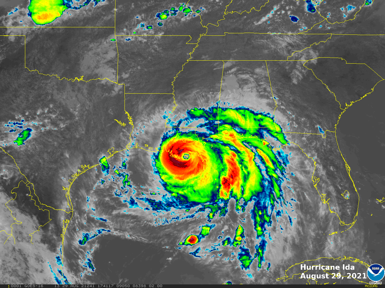
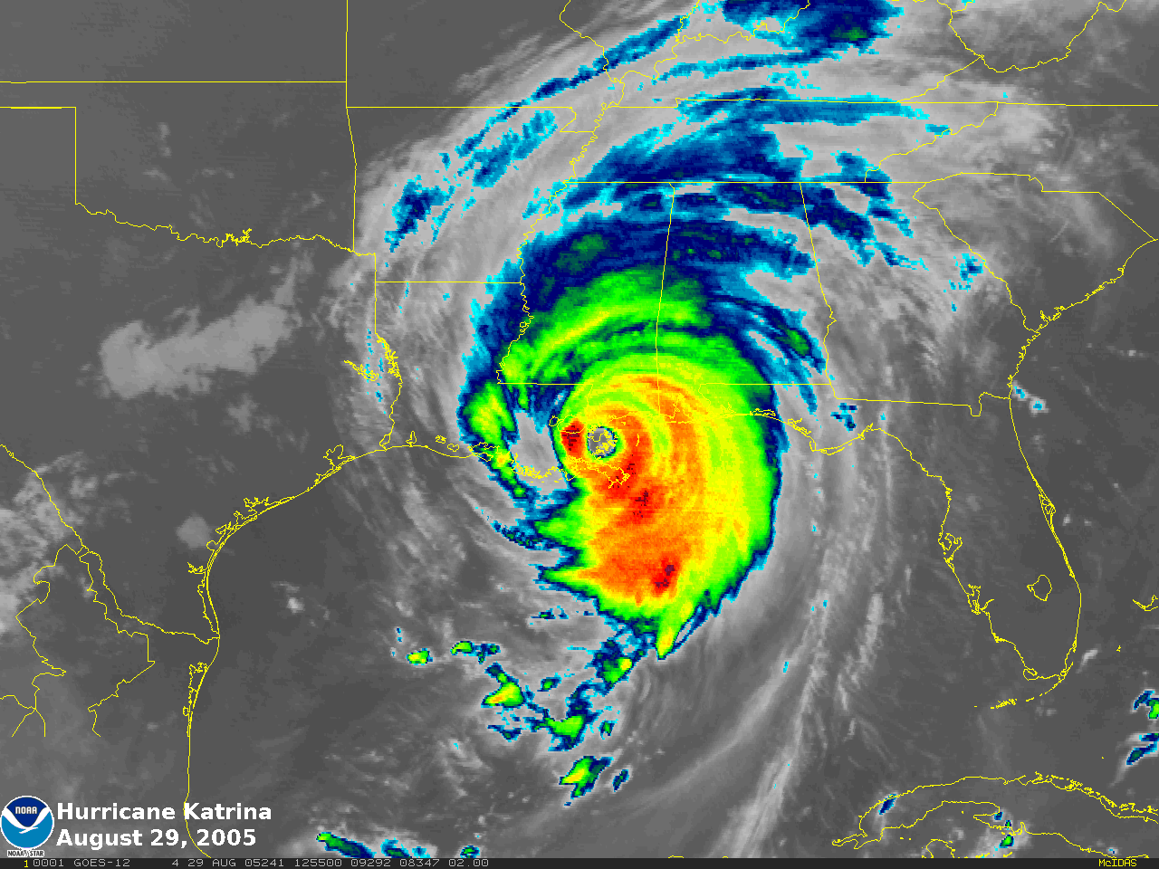
Satellite imagery compares the extent of Hurricane Katrina and Ida
Hurricanes Katrina and Ida hit Louisiana on August 29, 2005 and 2021, respectively. The below images show the spatial extent of each storm. Drag the center button left or right to adjust the comparison.
 August 29, 2021
GOES-16
 August 29, 2005
GOES-12
These images compare the size of Hurricane Katrina and Hurricane Ida as seen by the GOES-East satellites at the time of landfall. The ability to do this is a testament of the ongoing uninterrupted support of NOAA satellites. In 2005 when GOES-12 was GOES-East it represented the state-of-the-art for 2005 time period. The current GOES-East, GOES-16 from the current GOES-R series, provides far superior imagery and more timely bases. GeoXO, the next generation geostationary satellite series will provide even more advances to support the operational weather forecast community.
