NOAA GOES Image Viewer website
8 Dec 2024 - 22:46 EST
9 Dec 2024 - 03:46 UTC

GOES-East - Sector view: South America - Southern - Band 12

4 hour loop - 24 images - 10 minute update

To enlarge, pause animation & click the image. Hover over popups to zoom. Use slider to navigate.


Band 12 - 9.6 µm - Ozone - IR - 08 Dec 2024 - 2340 UTC
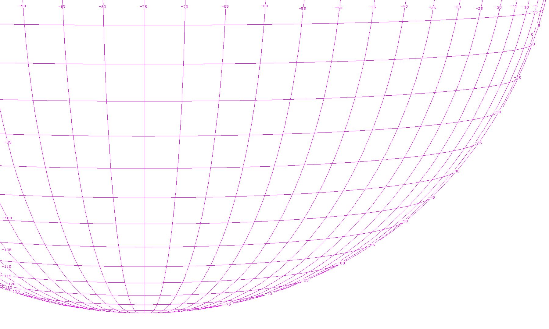
Band 12 - 9.6 µm - Ozone - IR - 08 Dec 2024 - 2340 UTC Latitude / Longitude grid
Band 12 - 9.6 µm - Ozone - IR - 08 Dec 2024 - 2350 UTC
Band 12 - 9.6 µm - Ozone - IR - 08 Dec 2024 - 2350 UTC Latitude / Longitude grid
Band 12 - 9.6 µm - Ozone - IR - 09 Dec 2024 - 0000 UTC
Band 12 - 9.6 µm - Ozone - IR - 09 Dec 2024 - 0000 UTC Latitude / Longitude grid
Band 12 - 9.6 µm - Ozone - IR - 09 Dec 2024 - 0010 UTC
Band 12 - 9.6 µm - Ozone - IR - 09 Dec 2024 - 0010 UTC Latitude / Longitude grid
Band 12 - 9.6 µm - Ozone - IR - 09 Dec 2024 - 0020 UTC
Band 12 - 9.6 µm - Ozone - IR - 09 Dec 2024 - 0020 UTC Latitude / Longitude grid
Band 12 - 9.6 µm - Ozone - IR - 09 Dec 2024 - 0030 UTC
Band 12 - 9.6 µm - Ozone - IR - 09 Dec 2024 - 0030 UTC Latitude / Longitude grid
Band 12 - 9.6 µm - Ozone - IR - 09 Dec 2024 - 0040 UTC
Band 12 - 9.6 µm - Ozone - IR - 09 Dec 2024 - 0040 UTC Latitude / Longitude grid
Band 12 - 9.6 µm - Ozone - IR - 09 Dec 2024 - 0050 UTC
Band 12 - 9.6 µm - Ozone - IR - 09 Dec 2024 - 0050 UTC Latitude / Longitude grid
Band 12 - 9.6 µm - Ozone - IR - 09 Dec 2024 - 0100 UTC
Band 12 - 9.6 µm - Ozone - IR - 09 Dec 2024 - 0100 UTC Latitude / Longitude grid
Band 12 - 9.6 µm - Ozone - IR - 09 Dec 2024 - 0110 UTC
Band 12 - 9.6 µm - Ozone - IR - 09 Dec 2024 - 0110 UTC Latitude / Longitude grid
Band 12 - 9.6 µm - Ozone - IR - 09 Dec 2024 - 0120 UTC
Band 12 - 9.6 µm - Ozone - IR - 09 Dec 2024 - 0120 UTC Latitude / Longitude grid
Band 12 - 9.6 µm - Ozone - IR - 09 Dec 2024 - 0130 UTC
Band 12 - 9.6 µm - Ozone - IR - 09 Dec 2024 - 0130 UTC Latitude / Longitude grid
Band 12 - 9.6 µm - Ozone - IR - 09 Dec 2024 - 0140 UTC
Band 12 - 9.6 µm - Ozone - IR - 09 Dec 2024 - 0140 UTC Latitude / Longitude grid
Band 12 - 9.6 µm - Ozone - IR - 09 Dec 2024 - 0150 UTC
Band 12 - 9.6 µm - Ozone - IR - 09 Dec 2024 - 0150 UTC Latitude / Longitude grid
Band 12 - 9.6 µm - Ozone - IR - 09 Dec 2024 - 0200 UTC
Band 12 - 9.6 µm - Ozone - IR - 09 Dec 2024 - 0200 UTC Latitude / Longitude grid
Band 12 - 9.6 µm - Ozone - IR - 09 Dec 2024 - 0210 UTC
Band 12 - 9.6 µm - Ozone - IR - 09 Dec 2024 - 0210 UTC Latitude / Longitude grid
Band 12 - 9.6 µm - Ozone - IR - 09 Dec 2024 - 0220 UTC
Band 12 - 9.6 µm - Ozone - IR - 09 Dec 2024 - 0220 UTC Latitude / Longitude grid
Band 12 - 9.6 µm - Ozone - IR - 09 Dec 2024 - 0230 UTC
Band 12 - 9.6 µm - Ozone - IR - 09 Dec 2024 - 0230 UTC Latitude / Longitude grid
Band 12 - 9.6 µm - Ozone - IR - 09 Dec 2024 - 0240 UTC
Band 12 - 9.6 µm - Ozone - IR - 09 Dec 2024 - 0240 UTC Latitude / Longitude grid
Band 12 - 9.6 µm - Ozone - IR - 09 Dec 2024 - 0250 UTC
Band 12 - 9.6 µm - Ozone - IR - 09 Dec 2024 - 0250 UTC Latitude / Longitude grid
Band 12 - 9.6 µm - Ozone - IR - 09 Dec 2024 - 0300 UTC
Band 12 - 9.6 µm - Ozone - IR - 09 Dec 2024 - 0300 UTC Latitude / Longitude grid
Band 12 - 9.6 µm - Ozone - IR - 09 Dec 2024 - 0310 UTC
Band 12 - 9.6 µm - Ozone - IR - 09 Dec 2024 - 0310 UTC Latitude / Longitude grid
Band 12 - 9.6 µm - Ozone - IR - 09 Dec 2024 - 0320 UTC
Band 12 - 9.6 µm - Ozone - IR - 09 Dec 2024 - 0320 UTC Latitude / Longitude grid
Band 12 - 9.6 µm - Ozone - IR - 09 Dec 2024 - 0330 UTC
Band 12 - 9.6 µm - Ozone - IR - 09 Dec 2024 - 0330 UTC Latitude / Longitude grid
legend for color-enhanced infrared channels 11-15

9.6 µm - "Ozone" Band - 2 km resolution - Band 12 will provide information both day and night about the dynamics of the atmosphere near the tropopause with high spatial and temporal resolutions. For clear (cloud-free) scenes of view, this band is cooler than the IR window bands because of absorption due to ozone.

• For more details, see the Band 12 - ABI Quick Information Guide, (PDF, 803 KB)