
Altimetric Bathymetry
NOAA Compilation of Multibeam Swath Bathymetry
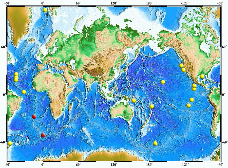
Click on circles above to view data and geophysical analyses.
You can view all images and analyses, but areas with red circles require a password to ftp the high resolution data.
In areas with yellow circles, the data are public.
If you know your area, you can also click on images below to access.
These studies are carried out to better understand the signal and noise characteristics in the mapping of seafloor structures by altimetry. The results will be used to:
- Advise the General Bathymetric Chart of the Oceans (GEBCO) Working Group on the Integration of Geoscience Data
- Improve altimetry data processing algorithms
- Demonstrate the possibility of higher-resolution mapping using new altimeter technology, such as in the proposed ABYSS mission.
 Multibeam Synthesis Project Data


