MiRS Sensors
Megha-Tropiques MADRAS Overview
Satellite(s)
Megha-Tropiques
MiRS Production Status
MADRAS instrument declared non-operational on September 24, 2013.
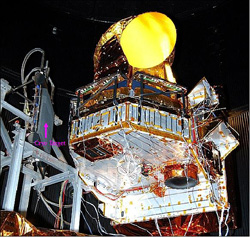
MADRAS is a microwave imager, with conical scanning (incidence angle 56°), close from the SSM/I and TMI concepts. The main aim of the mission being the study of cloud systems, a frequency has been added (157 Ghz) in order to study the high level ice clouds associated with the convective systems, and to serve as a window channel relative to the sounding instrument at 183 GHz.
| Channel Number | Frequency | Polarization | NE∆T @ 300K required, (goal) | Pixel size | Main use |
|---|---|---|---|---|---|
| 1 | 18.7 Ghz ± 100 Mhz | V | 0.7 K (0.5) | 40 km | ocean rain and surface wind |
| 2 | 18.7 Ghz ± 100 Mhz | H | 0.7 K (0.5) | 40 km | ocean rain and surface wind |
| 3 | 23.8 Ghz ± 200 Mhz | V | 0.7 K (0.5) | 40 km | integrated water vapor |
| 4 | 36.5 Ghz ± 500 Mhz | V | 0.7 K (0.5) | 40 km | cloud liquid water |
| 5 | 36.5 Ghz ± 500 Mhz | H | 0.7 K (0.5) | 40 km | cloud liquid water |
| 6 | 89 Ghz ± 1350 Mhz | V | 1.1 K (1.0) | 10 km | convective rain areas |
| 7 | 89 Ghz ± 1350 Mhz | H | 1.1 K (1.0) | 10 km | convective rain areas |
| 8 | 157 Ghz ± 1350 Mhz | V | 2.2 K (2.0) | 6 km | cloud top ice |
| 9 | 157 Ghz ± 1350 Mhz | H | 2.2 K (2.0) | 6 km | cloud top ice |
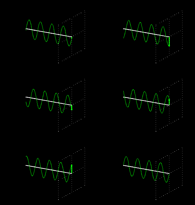
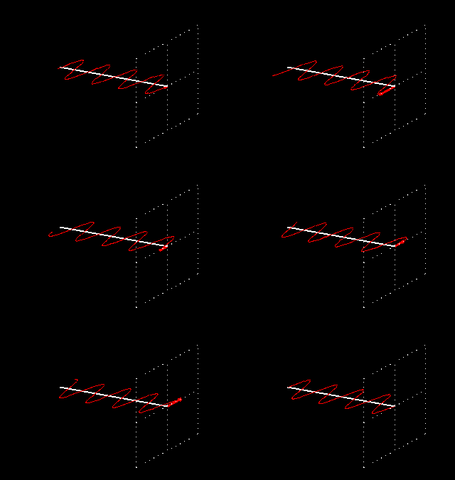
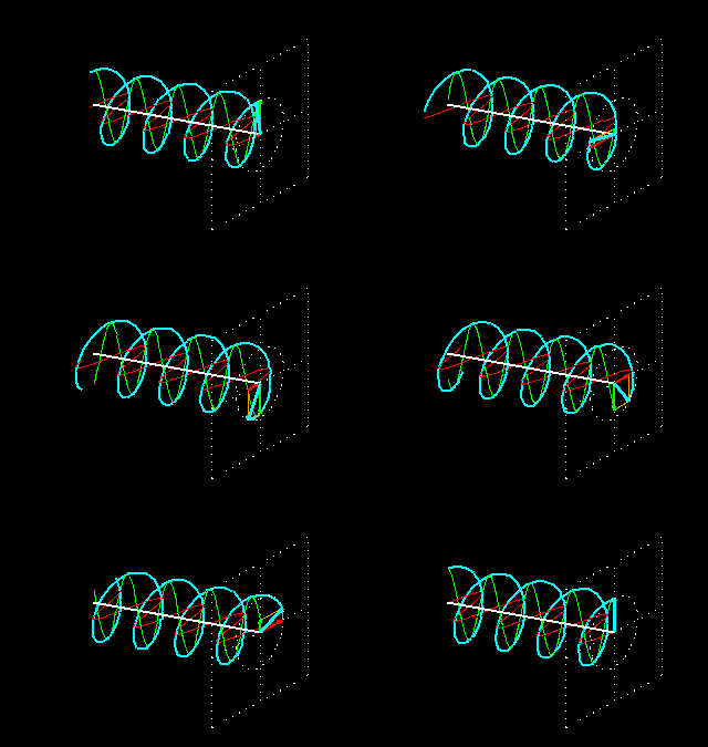
- V: Polarization vector is parallel to scan plane at nadir
- H: Polarization vector is perpendicular to scan plane at nadir
The main uses given here are only indicative, most of the products being extracted from algorithms combining the different channels information. The resolutions are those expected in the different channels, accounting for the specification of 10 km given for the 89 Ghz channel.
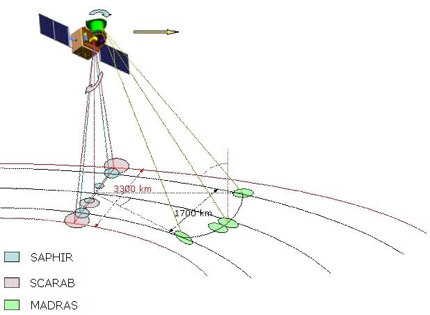
Imaging geometry of the Megha-Tropiques instruments (image credit: CNES)
Notes:
Source: MEGHA-TROPIQUES Home
Source: MEGHA-TROPIQUES @ eoPortal
Photo: Photo of the MADRAS instrument under thermo-VAC test.

