Advanced Baseline Imager (ABI) Scan Sectors
All images shown on this page are courtesty of NOAA OSPO.
ABI Full Disk Sectors
The ABI full disk scan sectors show the full hemisphere, centered at the equator and the central longitude of the satellite.
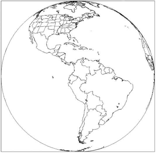
GOES-East Full Disk (centered at 75.2 °W) (click image to open in separate tab)
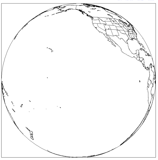
GOES-West Full Disk (centered at 137.0 °W) (click image to open in separate tab)
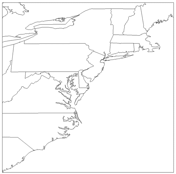
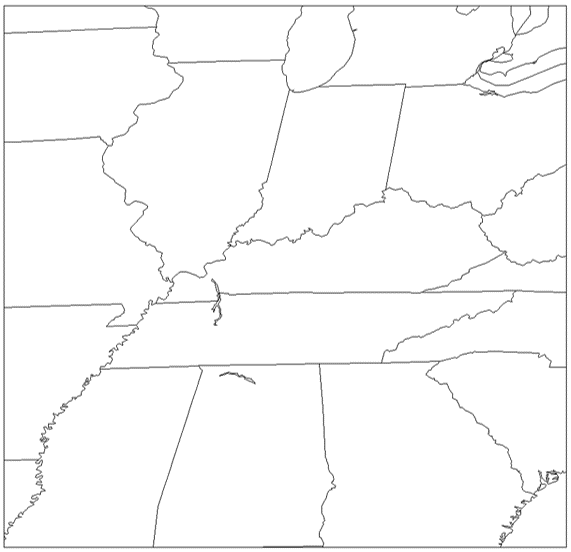
ABI CONUS Sectors
The ABI CONUS scan sectors are 3000 x 5000 km subsets of the Full Disk sectors, covering the CONUS (GOES-East) or PACUS (GOES-West) regions.

GOES-East CONUS (click image to open in separate tab)
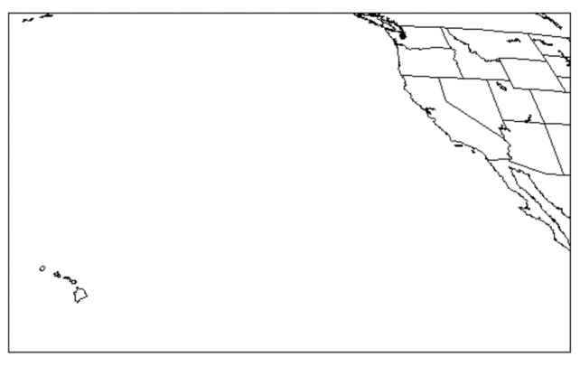
GOES-West PACUS (click image to open in separate tab)
ABI Mesoscale Sectors
The ABI Mesoscale scan sectors are two zoom-in regions measuring 1000 x 1000 km that are adjusted based on current hazards (e.g., severe storms, wildfires). The default Mesoscale 1 and Mesoscale 2 sectors are shown below. To find the locations of the ABI Mesoscale sectors for a given day, consult the map of current/planned locations or the archive of past locations.
GOES-East default Mesoscale 1 (click image to open in separate tab)
GOES-East default Mesoscale 2 (click image to open in separate tab)
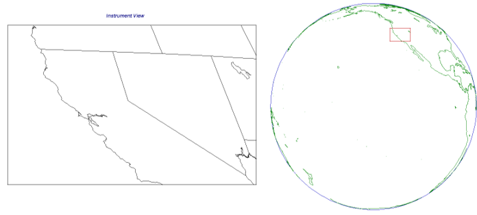
GOES-West default Mesoscale 1 (click image to open in separate tab)
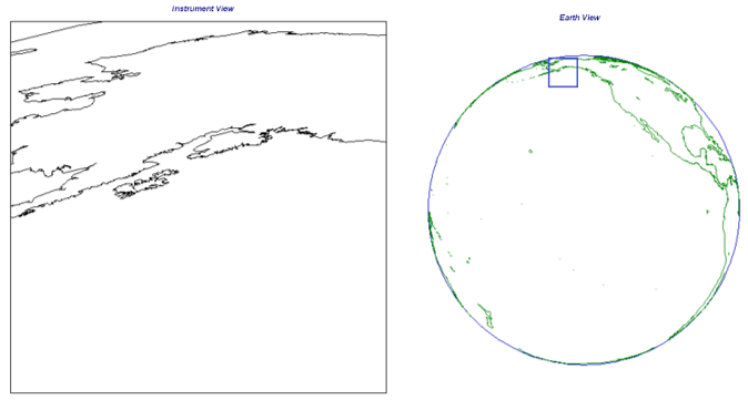
GOES-West default Mesoscale 2 (click image to open in separate tab)