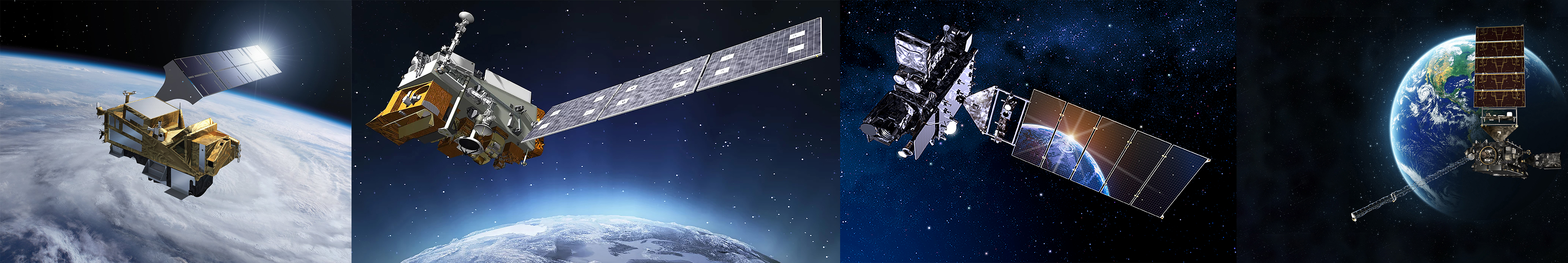
Satellite Data Information
Understanding Satellite Data
- Satellite Data Processing Levels
- Satellite Data Product Maturity Levels
- Operational vs. Reprocessed Satellite Data
- GOES-16, -17, -18, -19 Advanced Baseline Imager (ABI) Data:
- ABI Scan Modes
- ABI Scan Sectors
- GOES Imager Projection (included in most ABI data files instead of latitude and longitude)
- SNPP, NOAA-20, NOAA-21 Visible Infrared Imaging Radiometer Suite (VIIRS) Data:
- Decoding Satellite Data File Names
- ABI Level 2 (derived products) file names
- VIIRS Level 2 (derived products) granule file names
- TROPOMI Level 2 (derived products) file names
- TEMPO Level 2 (derived products) file names
- Overview of the netCDF Data File Structure
- Panoply netCDF, HDF and GRIB Data File Viewer
Atmospheric Composition Product Documentation
- GOES-16, -17, -18, -19 Advanced Baseline Imager (ABI) Products Documentation:
- GOES-R Product Definition and Users’ Guide (PUG) Volume 5 (L2+ Products)
- Information Sheets on the 16 ABI Bands
- ABI Product Documentation (click on "Product Details" in the horizontal menu under the blue "Program History" button near the top of the page, then scroll down to the "ABI Product Table")
- Aerosol Detection Product (ADP) documents
- GOES-16 ABI ADP ReadMe
- GOES-17 ABI ADP ReadMe
- Current GOES-West: GOES-18 ABI ADP ReadMe
- Current GOES-East: GOES-19 ABI ADP ReadMe
- ABI ADP User's Guide
- ABI ADP Baseline Algorithm Theoretical Basis Document (ATBD)
- ABI ADP Enterprise Algorithm Theoretical Basis Document (ATBD)
- Aerosol Optical Depth (AOD) documents
- GOES-16 ABI AOD ReadMe
- GOES-17 ABI AOD ReadMe
- Current GOES-West: GOES-18 ABI AOD ReadMe
- Current GOES-East: GOES-19 ABI AOD ReadMe
- ABI AOD Baseline Algorithm Theoretical Basis Document (ATBD)
- ABI AOD Enterprise Algorithm Theoretical Basis Document (ATBD)
- Fire/Hot Spot Characterization (FDC) documents
- SNPP, NOAA-20, NOAA-21 Visible Infrared Imaging Radiometer Suite (VIIRS) Products Documentation:
- Aerosol Detection Product (ADP) documents
- VIIRS ADP User's Guide
- VIIRS ADP Quick Guide
- VIIRS ADP Enterprise Algorithm Theoretical Basis Document (ATBD)
- Aerosol Optical Depth (AOD) documents
- VIIRS AOD User's Guide
- VIIRS AOD Quick Guide
- VIIRS AOD Enterprise Algorithm Theoretical Basis Document (ATBD)
- Active Fires I-band documents
- S5P TROPOspheric Monitoring Instrument(TROPOMI) User Technical Documentation, including Product ReadMe Files (PRFs), Product User Manuals (PUMs), and Algorithm Theoretical Basis Documents (ATBDs)
- Tropospheric Emissions: Monitoring of Pollution (TEMPO) Products Documentation:
Satellite Data Archives
- ABI Level 2 Data via GOES-R NOAA Open Data Dissemination (NODD)
- GOES-R NODD on Amazon Web Services (AWS) (main page)
- Free & open access
- No registration required! An Amazon Web Services (AWS) cloud computing account is NOT required!
- Files in netCDF4 (.nc) format
- All files updated in near real-time
- Files available for Full Disk, CONUS, Mesoscale 1, and Mesoscale 2 scan sectors (not all products produced for each sector)
- Separate data "buckets" for each GOES-R satellite
- Operational Level 1b (radiances) & Level 2 (derived products) files available
- Current GOES-East: GOES-19 bucket (2024-present)
- ABI Aerosol Detection Product (ADP) files:
- ABI Aerosol Optical Depth (AOD) files:
- Current GOES-West: GOES-18 bucket (2022-present)
- ABI Aerosol Detection Product (ADP) files:
- ABI Aerosol Optical Depth (AOD) files:
- GOES-16 bucket (2017-Apr 2025)
- ABI Aerosol Detection Product (ADP) files:
- ABI Aerosol Optical Depth (AOD) files:
- GOES-17 bucket (2018-Jan 2023)
- ABI Aerosol Detection Product (ADP) files:
- ABI Aerosol Optical Depth (AOD) files:
- VIIRS Level 2 EDR (granule) Data via JPSS NOAA Open Data Dissemination (NODD)
- JPSS NODD on Google Cloud Storage (GCS) (main page)
- Free & open access
- No registration required! A Google Cloud computing account is NOT required!
- Files in netCDF4 (.nc) format
- VIIRS Level 2 files are called Environmental Data Records (EDRs) or granules files
- Separate data "buckets" for each JPSS satellite
- There are ~550 individual AOD and ADP Level 2 granules files generated per day for each satellite/product (global coverage)
- Reprocessed files:
- SNPP files (19 Jan 2012 - 31 Dec 2022):
- NOAA-20 files (1 Jan 2018 - 31 Dec 2022):
- Operational files:
- Operational AOD and ADP files are updated in near real-time
- SNPP files (29 Oct 2022-present):
- NOAA-20 files (29 Oct 2022-present):
- NOAA-21 files (6 Sep 2023-present):
- VIIRS Level 3 (Gridded) AOD Data
- Operational files via STAR online archive:
- Free & open access
- No registration required!
- Files in netCDF4 (.nc) format
- VIIRS high quality AOD data, global coverage
- Daily files available at 0.10° or 0.25° resolution
- Monthly-averaged files available at 0.25° resolution only
- Operational files have a latency of one day **Operational archive dating to Oct 2022 was lost due to disk failure; archive re-started on 30 Jul 2024**
- SNPP VIIRS operational daily gridded files (30 Jul 2024-present)
- SNPP VIIRS operational monthly-averaged gridded files (Aug 2024-present)
- NOAA-20 VIIRS operational daily gridded files (30 Jul 2024-present)
- NOAA-20 VIIRS operational monthly-averaged gridded files (Aug 2024-present)
- Reprocessed files via JPSS NOAA Open Data Dissemination (NODD):
- JPSS NODD on Google Cloud Storage (GCS) (main page)
- Free & open access
- No registration required! A Google Cloud computing account is NOT required!
- Files in netCDF4 (.nc) format
- VIIRS high quality AOD data, global coverage
- Daily files available at 0.05°, 0.10°, and 0.25° resolution
- Weekly-averaged and monthly-averaged files available at 0.25° resolution only
- SNPP VIIRS reprocessed gridded files (2012-2022)
- NOAA-20 VIIRS reprocessed gridded files (2018-2022)
- TROPOMI Data via Copernicus Data Space Ecosystem (CDSE)
- Free & open access
- Registration is required!
- Files in netCDF4 (.nc) format
- All TROPOMI Level 1b and Level 2 data files available, updated in near real-time
- Products provided with "Near real time", "Offline", and "Reprocessing" data processing latency (availablity varies by product)
- We recommend using the S3 bucket option to access data files
- TEMPO Data via NASA EarthData
- Free & open access
- Registration is required!
- Files in netCDF4 (.nc) format
- TEMPO Level 1b and trace gas Level 2 & Level 3 data files available, updated in near real-time
- Example Earthdata search strings for TEMPO trace gas products:
- TEMPO_NO2_L2
- TEMPO_HCHO_L3
- TEMPO_NO2_L2
- TEMPO_HCHO_L3
- NEW! Limited release of TEMPO aerosol product data files from NOAA
- Data are preliminary and limited to one year (August 1, 2023 to July 31, 2024)
- Files in netCDF4 (.nc) format
- Data are for end users to test the potential of the products for research and applications
- Access to the data is by request only! Please contact us if you would like to test the data.
- ABI & VIIRS Data via CLASS
- NOAA CLASS Home Page
- Free & open access
- Registration is required!
- Users must "order" files from CLASS and download them via webpage or FTP
- Tutorials on ordering & downloading VIIRS Level 2 granules files from CLASS
- Files in netCDF4 (.nc) format, distributed as "bundled" .tar files
- Each .tar file contains ~4-7 individual .nc files
- Python function to "unpack" .tar files and extract .nc files
- VIIRS operational Level 2 granules files, including AOD and ADP, for the past 60 days are available from the JPSS FTP rolling cache on CLASS; select the desired observation date & then the "JPSS-GRAN/" directory. Individual .nc files are bundled in very large .tar files